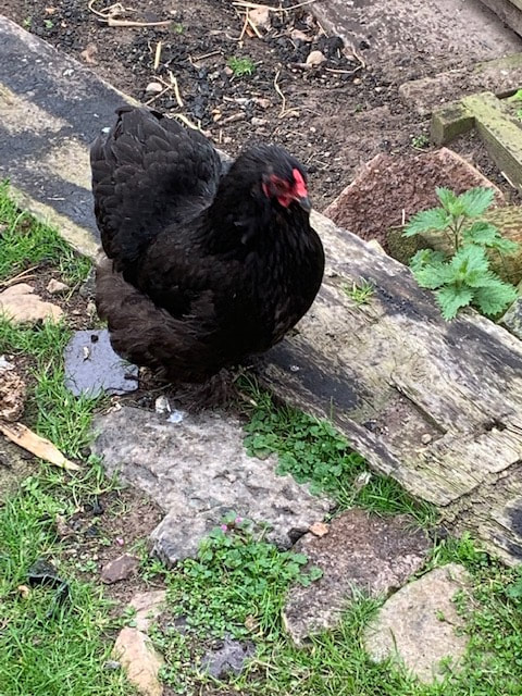
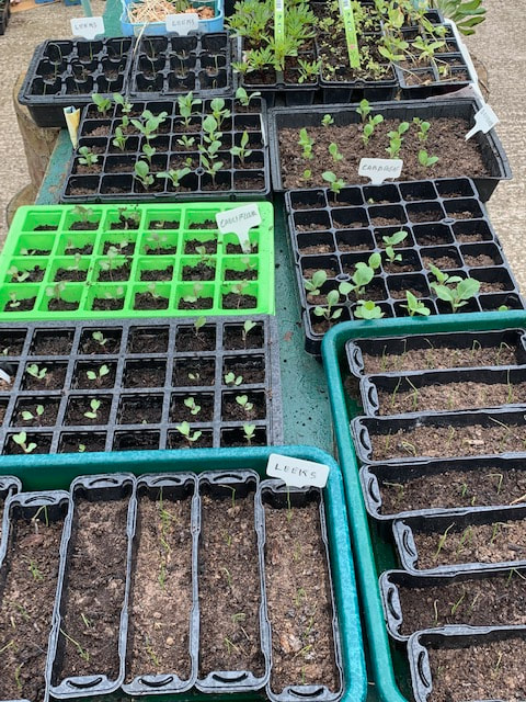
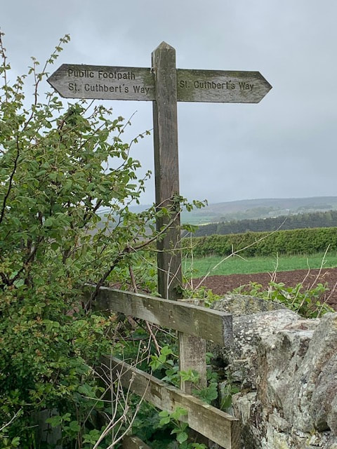
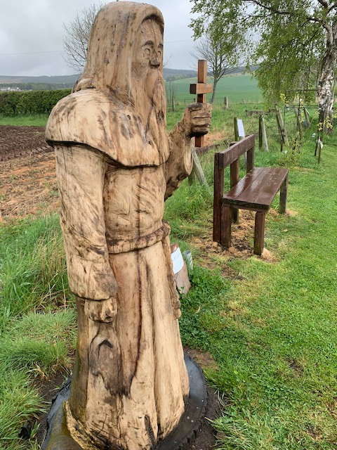
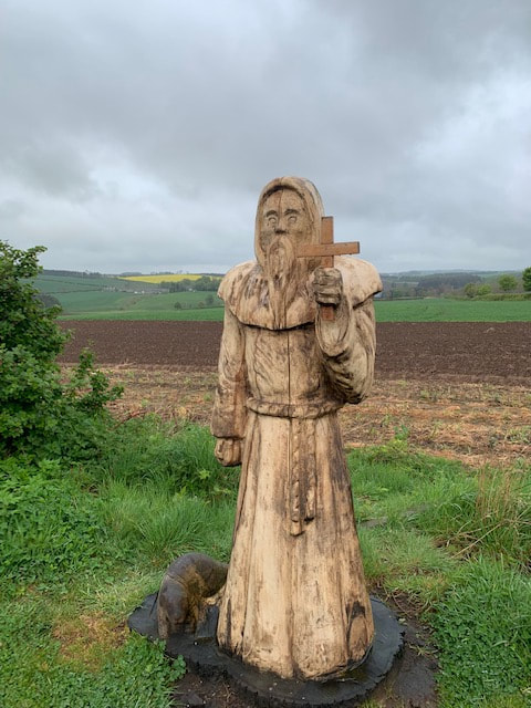
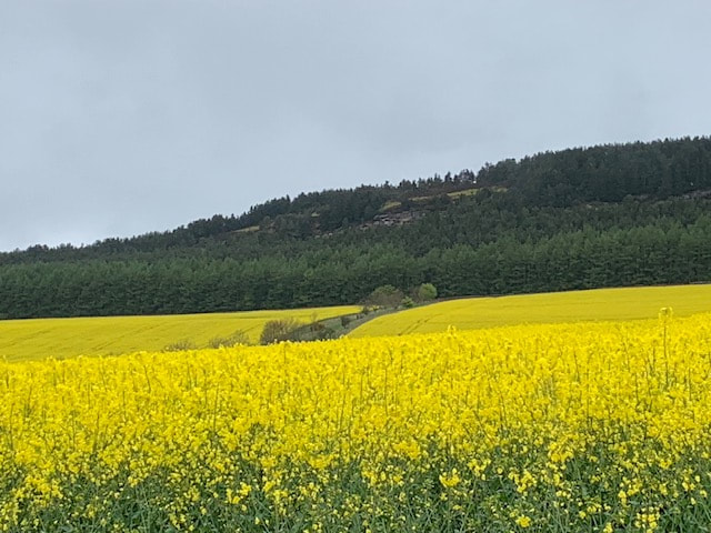
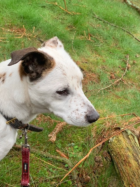
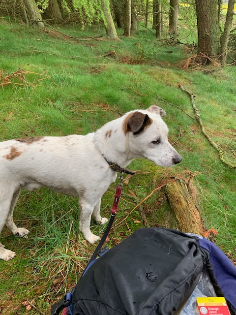
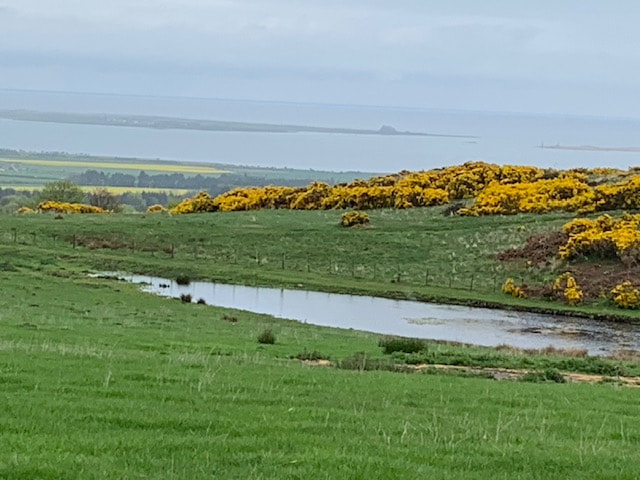
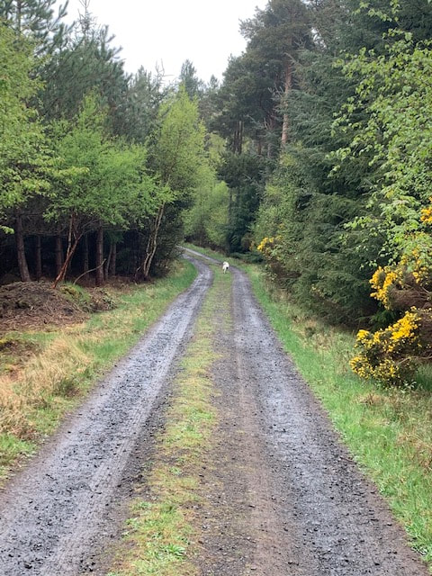
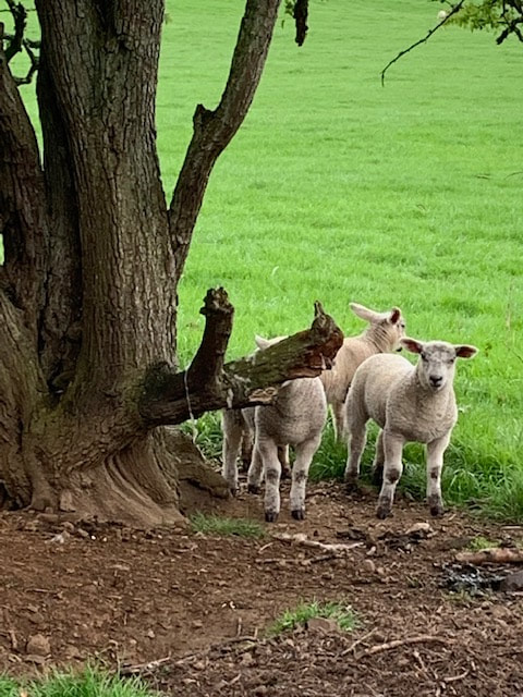
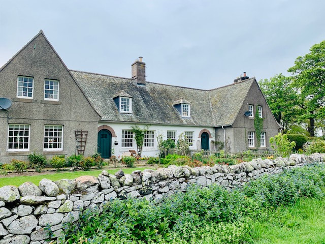
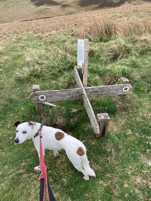
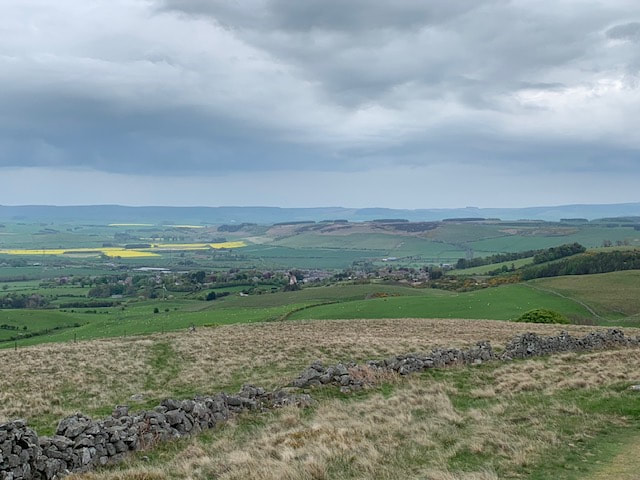
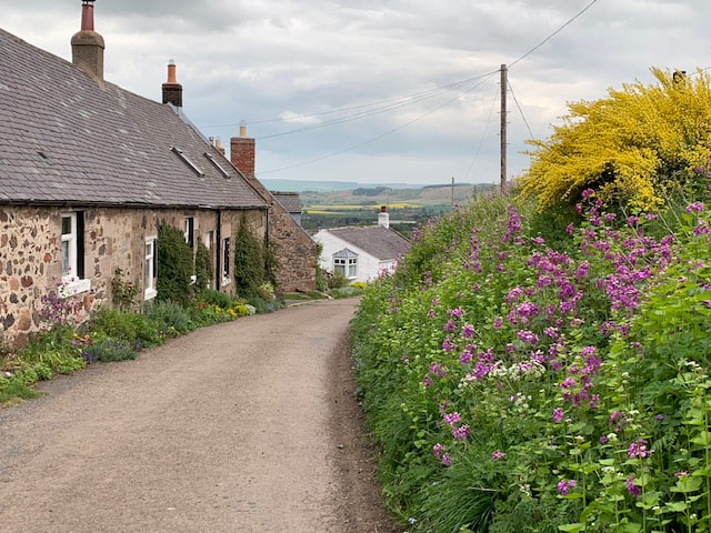
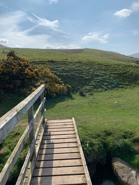
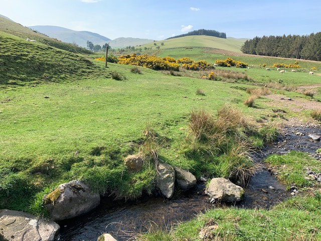
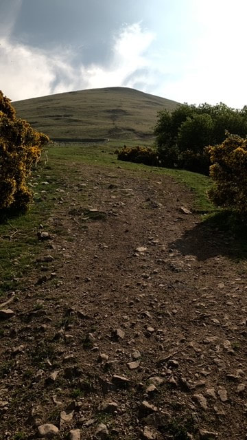
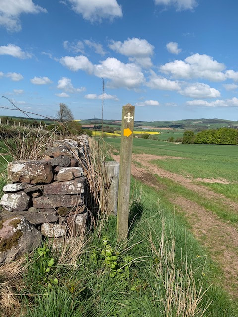
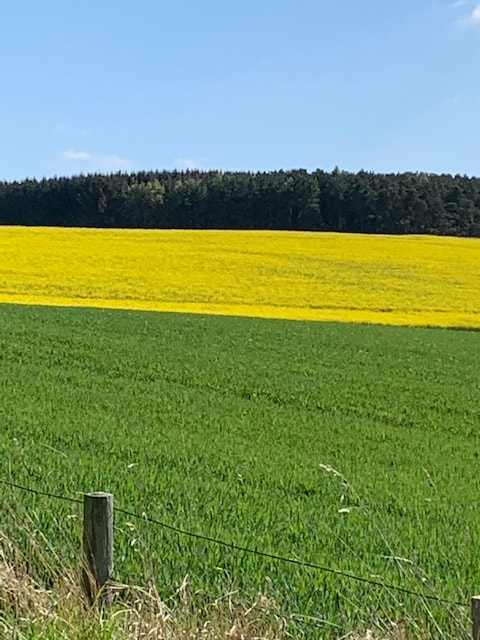
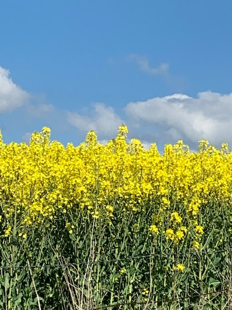
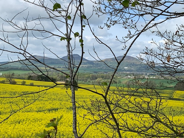
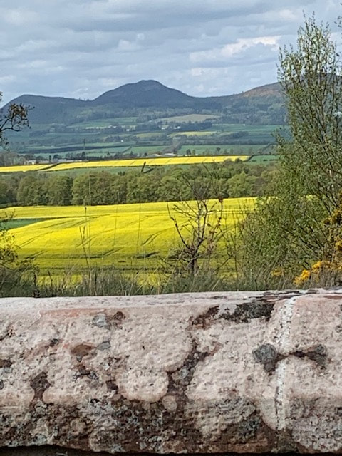
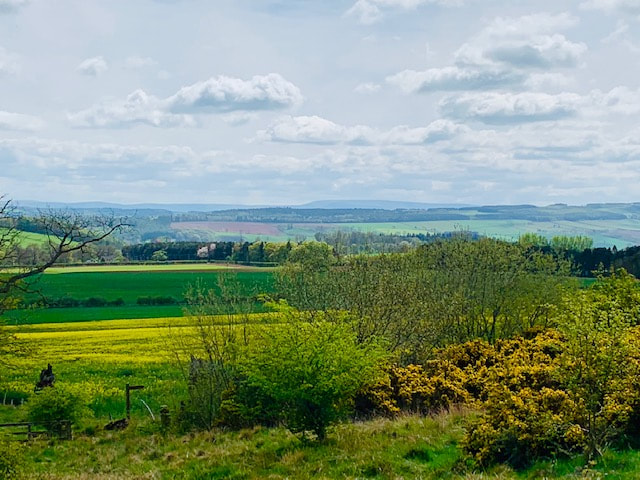
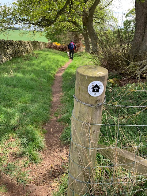
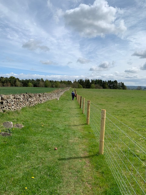
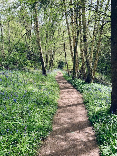
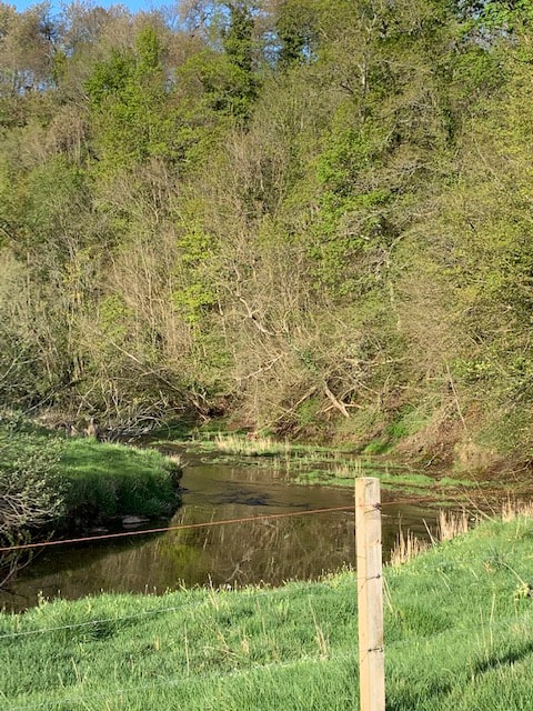
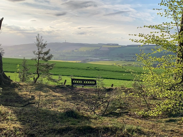
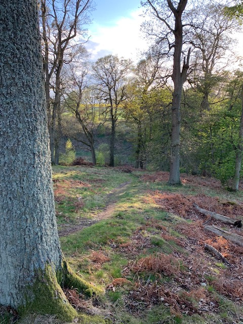
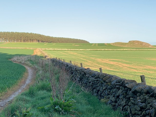
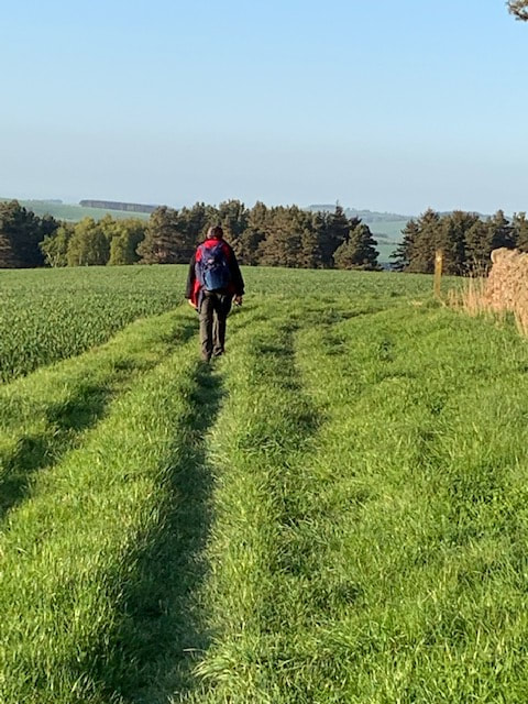
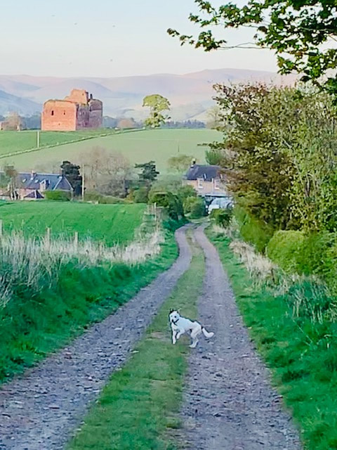
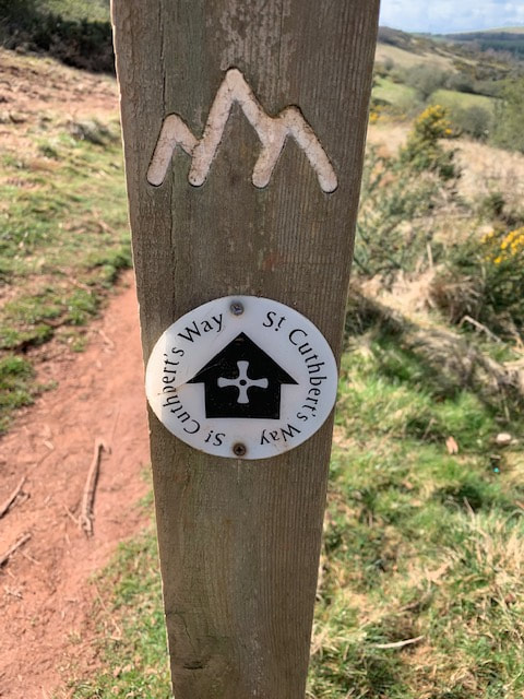
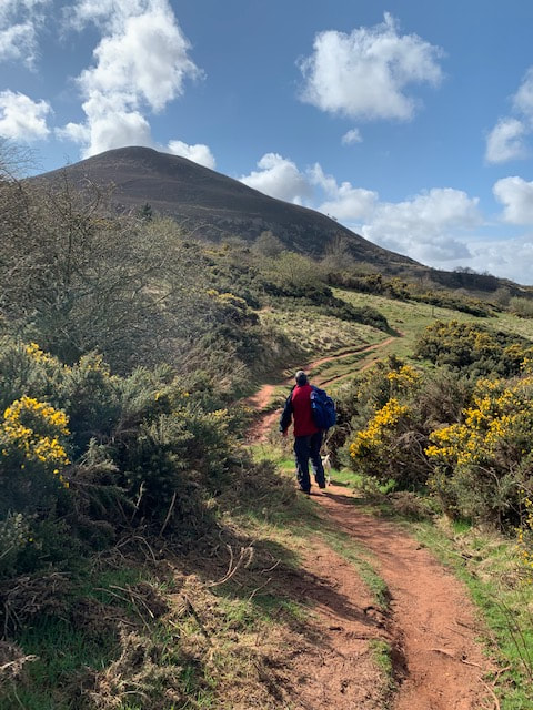
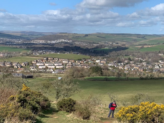
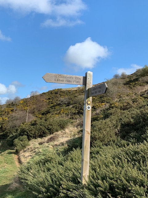
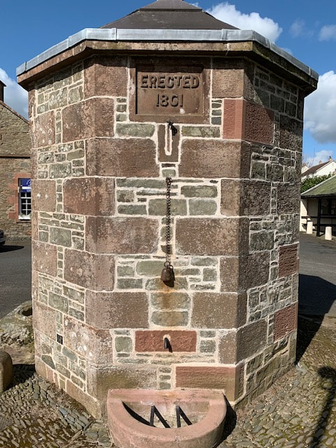
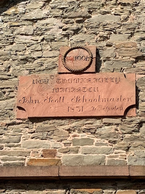
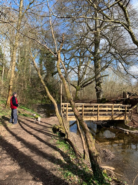
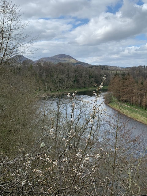
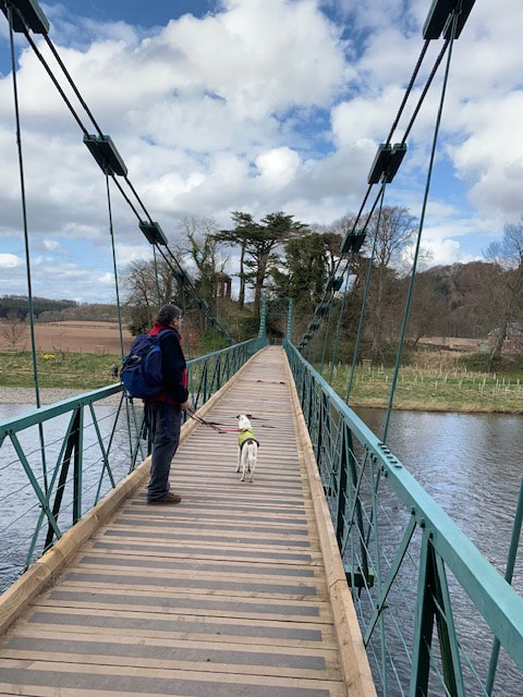
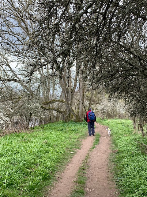
Wooler to Beal (ish)Earworm of the Day: One Day Like This (Elbow), Blackbird (Martyn Bennett) Slept much better! R had transformed the boho-chic caravan until inside, it resembled one huge bed. God what bliss. Slept like a log until the chaffinch roused me again. I would miss him. I would. Last evening had been thoroughly enjoyable. We had collected another of R's amazing friends on our way home and another great evening had followed - I had no idea what we'd even talked about but time had flown by with a hot bath - much tending to of the feet, then some beautiful food (including a home-made rhubarb cake) and a fair bit of laughing. More wine. I could have stayed on in the College Valley for ever - perhaps that was how it gained its inhabitants; ensnaring them and never letting them go. R was due to drop me outside Wooler and didn't want to be late. I had a last look round, checked on J's veggie seedlings and said goodbye to the chickens. It looked like today would be wet. The waterproof jacket would get its first outing. R dropped me just outside Wooler and we said goodbye. Well, we hung about a bit awkwardly before eventually doing so. I hate goodbyes (am a quiet disappearer) and I didn't really want to go. R had been a truly wonderful host and I’d felt like part of the family. She’d made my journey on the Way into something very special. It felt like the best bits of The Way were already behind me and now I was starting to head towards home. I watched her drive off and felt quite alone for the first time in a couple of days. Except that I wasn't really. Behind me I could see a long string of bright goretex clad humans heading towards me. Perhaps this was the group of Glasgow ladies I'd heard about a lifetime ago. They were definitely going to catch me up even if my foot did feel a bit better this morning. The Way headed across Weetwood Bridge and I pulled on a hat, grabbed H's lead and headed into the wet. There aren't too many photo's of today's walk - it never really stopped raining and getting the phone out of its case just became a bit of a hassle. H and I headed up hill along the lane (there was a fair bit of road walking today) and the hedges dripped over us. We reached West and then East Horton and I stopped to let the crowds over take. Had some tea. I could see back towards Wooler but the cloud covered the Cheviots. The group headed past in twos and threes, and then a couple of other people. Everyone stopped to take photos of the cows in the yard. Then the Way left the lane and headed north east on a good track, crossing the Devil's Causeway. Definitely need to find out more about that - wondered if it was in one of the Alistair Moffat books. The rain cleared slightly and i had a last good look back at the Cheviots in the distance. 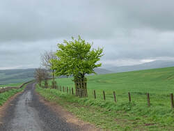 A tractor headed past, and the track started down hill to cross the Hetton Burn. The map showed a ford and I wondered how that would be to cross. I could see a red Mitsubishi heading down towards the burn on the other side. My foot was starting to hurt again. As it turned out, the crossing was over a fine wooden bridge and we headed up the hill on the other side. Head down in the rain. Foot sore now - just keep going. Was trying really hard to enjoy this but Hamish also seemed to have lost some of his usual vigour. The plan was to avoid having a lunch break at St Cuthbert's cave which was reportedly hoaching with ticks, so I planned to have two smaller breaks. I stopped where the track appeared at a road below Old Hazelrigg. Just a couple of cottages, but a real Way Resting Spot, complete with bench and a stunning life-sized (I imagine) wooden statue of the man himself. You'll need to click on the photo to see it properly. The statue is by Tom Fiddes, a local sculptor and clearly shows St Cuthbert with an otter at his feet. Bede wrote that St Cuthbert used to venture into the sea at night, standing in water up to his neck and then coming out to pray on the sand. A pair of otters would warm his frozen feet with their breath and dry him with their fur. I ate a sandwich, gave H some biscuits and water and tended to my feet. Another walker appeared and we chatted for a while. He was from Harrogate and walking the Way solo. He seemed pleasant enough. Hopefully there wasn't anyone left to overtake me now. Some boy racers headed past at great speed in cars (why is everyone so fast?)and I set off. The Way led uphill on another dripping and leafy lane then off to the left on narrow paths. My foot felt a bit better after being re-socked but I was a bit fed up with the rain. Hamish had a run about and as we neared the woods at Colourheugh highpitched screams of laughter made me jump. The ladies were lunching in the woods. Head down, along the path to some vivid yellow rapeseed fields below Cockenheugh and The Cave. The Way would lead me up the track between the two fields and then along the bottom of the woods before climbing. As I started up the track the ladies appeared behind me and - as I struggled to the gate at the top, they streamed past, followed by the couple. The man was sitting in the woods watching the procession, making himself tea over a stove. Hamish and I sat nearby and ate more lunch. Turns out the man was called Ken. Hamish was wet, miserable and filthy and I realised I didn't have a towel for him. The sense of being one of a crowd was odd. But it gave one a feeling of pilgrimage - of this small river of people converging on one spot at one time - no matter when we had started or how fast we had walked. Of course we were all aiming for the same gap in the tides for crossing to Holy Island tomorrow. We left Ken to his cuppa and walked into the rain. Along the bottom of the wood through a gate and to St Cuthbert's Cave on the right. It was much bigger than I had thought - a huge space under some rocks and the couple had pulled out some camping chairs. I crept away and headed up the side of the woods. Broken eggs littered the path at this point - dropped by a crow or larger raptor perhaps and I reached the crest of the hill. Ahead were some very green fields full of sheep and I could l see the last of the ladies stopped at the top of the hill across the way. I checked the phone GPS and then worked out where the gate was in the field at the bottom. After climbing up the other side I realised why the ladies had stopped. I stopped too. The sea didn't really slant like that; that's not why people were staring. All of a sudden, we were back in The World. Wide views and noise. A train whistled as it raced across one of the level crossings on the East Coast Main Line below us, and you could hear the murmer of cars on the A1. Holy Island was there - almost within touching distance. I messaged my friend who was meeting me the next morning, what'sapp'd P at work and sent a message to the world via Facebook. Emergence into the outside world meant social media. The path followed a track down into some woods and by now my foot was incredibly sore. I slowed down. Ken overtook me again and the woods grew darker. Hamish loved it. He loves woodland walks. All those smells. He seemed to have endless amounts of energy. I was limping. The path came out of the woods and hugged the edge between wood and fields. Everything dropped wet. The World seemed very close now but we were still hidden away in a woodland on the edge of it. Some lambs were sheltering from the rain, and I passed close to them. The Way finally left the woods at a cottage called Blawearie, and I found a bench at the top of the hill down to Fenwick and the A1.
I felt exhausted and my foot hurt like never before. I could see Holy Island, and across to Beal and even the B&B. Looking at the map I realised I was better to leave the Way and to head north out of Fenwick and cross the A1 by the pub at West Mains. To be honest, I wasn't convinced I had the capacity to sprint across the A1 if a burst of speed was required. I phoned the B&B to enquire about towels and a means of washing down Hamish while we waited for P to pick him up. They offered to collect me in Fenwick, and it was all I could do to stumble down the hill (I counted the telephone poles along the way and ticked them off as I passed them) to the car. Mr BrockmillB&B was nothing but kindness and brought me a pile of towels and directed me to the garden hose. I have never hosed H down with cold water before and he was horrified and upset. I could see his point. He had walked the St Cuthbert's way without any prior warning (in fact he hadn't even finished his breakfast the day we'd set off), and hauled me bodily up every hill we had come to. And I was hosing him down like some criminal in a film. Eventually he gave in to his fate (which was more horrid to see) and cowered until the ordeal was over. I had a fantastic shower (hot, long, soapy) while H glared at me from the bathroom door. Then I wrapped him up carefully and we cuddled up together with Beowulf and a fresh cup of tea until P arrived. We ate in the Bothy at Beal, picking our way through a shared seafoood platter, overlooking Lindisfarne, and I drank more gin. P had brought more compeed. Yay! Ken was in the bar along with a couple I thought I hadn't seen before. They had seen me somewhere en route and it turned out they were the couple with the chairs at the cave. 'Ah, the lady with the dog'. We had a mutual friend in Gifford, and it turns out they’d got engaged at the start of their walk - and - had been trying to complete a house purchase by phone whenever signal strength allowed. We joined them and swapped stories of The Way. P left with Hamish and all of a sudden I really missed him. Southernknowe to Wooler (and back to Southernknowe)Earworm of the Day: Love & Hate by Michael Kiwanuka Slept badly again. Hamish and I had elected to sleep on a single bench seat in the caravan which was cosy but very very uncomfortable. My hip ached all night and I was pinned against the wall by my canine companion who curled up behind my knees and wouldn't move. Other than a bad night's sleep I loved being at Southernknowe, and woke at the crack of dawn-chorus as a chaffinch sang its heart out somewhere above the metal roof. I'd arrived at Southernknowe to find my friend R not home yet and I sat in the garden on a bench, basking in the sun, boots off and feeling nothing but contentment and relief. Along with Lilliard's Edge, the stretch from Yetholm into the College Valley was the bit of the walk I'd looked forward to most. And it had been all that I wanted it to be. Joyous, silent, warm, spacious. Ros provided gin and a hot bath in that order and I spent a lovely evening chatting to her and her partner, a shepherd who had spent some of his youth about a mile from where I live so we knew lots of people and places in common. Much wine was drunk (I think) and that along with a lovely meal and a post dinner dog-walk, was enough to have me ready for bed just after 9pm. I loved the caravan at the bottom of the garden, among the chickens which raced to the door in the hope of food every time I appeared. I miss my hens! This morning, reality set in again. Is there anyway I could get out of doing the rest of this walk? My foot was a total mess and it looked as if my blisters might have other blisters inside them or something. I had popped them, drained them, cleaned them and re-compeeded but they had re-filled and I wasn't sure what to do. I've never really had bad blisters before. I lay in bed chanting away quietly to myself - I really don't want to do this I really don't want to do this I really don't want to ... R had made a stunning breakfast, porridge and toast and lots of tea and we planned the day ahead. R was coming along for part of the walk and it looked like it would be a late start as we waited for another friend to join us. I was so relaxed here - it was like a separate world where neither neither looming political melt-down or the rest of The Way existed. I went back to the caravan to listen to music and re-pack my rucksack. I would not need everything today as I was returning to the caravan that evening. The College Valley had fascinated me for a while - tucked into the very top corner of Northumberland - with the ridges along to the north forming the boundary with Scotland. Again, people led border lives, and lives which were not 'neither one nor the other' but instead were 'both'. My friends were Scottish but lived two miles from a border which was nothing more than sheep wire and wooden gates. How was any form of hard border workable here? The Valley is owned by the Sir James Knott Trust - a grant-making charity which seeks to 'improve the conditions of people living and working in the North East of England' - which bought the estate in 1953. The Valley is now managed by a separate company under a Board of Directors. Cars are only permitted as far as the car park at Hethpool unless you have bought a permit from Savill's in Wooler. We were ready to set off at the end of the morning, three of us and two dogs and parked up at Hethpool. Although I had been looking to spend time walking solo - it was great to have company, particularly from two brilliant local women who knew the walk. Both are involved in a project to raise awareness of the plight of refugees and to raise funds. The programme of activities includes a walk from the holy island of Iona to the holy island of Lindisfarne in April 2020 - and we discussed various ways in which themes of exile and sanctuary could be picked up along the route. I told them the story of King Loth of the Votadini, and his daughter Princess Thenew, the mother of St Mungo. It's a major fundraising and awareness-raising goal and I wish them much much luck. We left Hethpool with its beautiful cottages and headed downstream along the other side of the College Burn - this stunning clear burn flowed between banks of vivid gorse and would soon join the River Glen as it headed to join the River Till. The Till itself would join the Tweed next to the ruins of St Cuthbert's Chapel. Another place to check out another time. We meandered about among bluebells and stretches of rock - but the ticks were out in force that day. Hamish didn't get too badly bitten but the wee beasties were everywhere. Not sure even St Cuthbert would have had much time for them. The Valley's wild goats were about too, grazing in front of us and only moving away slowly. A reminder of my childhood home where a herd of wild goats roams the Valley of the Rocks. We parted company at Torleehouse - I didn't want anyone watching me puff my way up the main climb of the day. But I missed the company when they had gone. Skirting the buildings and passing through some curious sheep, I started the climb up alongside Yeavering Bell and decided to take a look. More goats grazed the slopes, but once we were clear of these, Hamish could spend some rare time off lead before we reached the open moorland. And do you know what? The hill wasn't too bad. Maybe the exercise was starting to have an effect. We stopped for lunch at the highest point and all was quiet: I hadn't known much about Yeavering Bell before the walk prep - other than that it is the name of a range of soft mohair/Wensleydale blend yarn produced by the lovely Alice at Whistlebare Yarns somewhere close by. For those who are not woolly-minded, Yeavering Bell is also the site of an ancient and large Iron Age fort but also contains a neolothic burial cairn. It was a tribal centre for the Votadini, those early Celtic people who had populated East Lothian, Dun Edin (now Edinburgh) and down as far as the Tyne (the Newcastle one not the Haddington one). What a strong people they must have been to control and make lives in such a huge area - and what factors had led history to forge a national border across what had once been the landholding of one tribe? Were those people I had met leading border lives, heirs of the Votadini in the way that they moved back and forth across a landscape which stretched across a geographical as well as historical canvas? Not for the first time, I wondered what the Votadini had called themselves. Note to self to visit the exhibition on the Traprain Hoard while it is in Haddington. Looking back over the Cheviots I could still see Scotland, but as I headed away from Yeavering Bell, the views homeward disappeared for the last time. We passed the smallest signpost I've ever seen (Hamish next to it for scale): and, with Tom Tallon's Crag to our left, reached the open moorland which stretched ahead between us and Wooler. We headed for a small plantation and some cattle glared at us and then we were at the top end of The Trows. In all my staring at the map that morning, worrying about hills, I hadn't appreciated that this might be boggy. And it was. I stepped from tussock to tussock - I haven't had to make my way across a bog for a long time but perhaps the technique never leaves you. About a third of the way across it seemed that this bog was a metaphor for a journey through life, especially a life edged with depression and anxiety. The really tough bits make it hard to raise your head up and see where you are going; you remain close-focused in fear each step will let you fall. I was going to end up as submerged as Carver Doone. Every tussock of grass successfully reached is a major achievement, and it's tempting to just stay where you are perched. Lightness of step and quickness of movement are key to success but that's not always possible when you are weighed down. Sometimes when you look ahead it seems you haven't really achieved much. Making the effort to look up, I saw that Hamish had had enough of all the floundering about and skipped across to the side of the bog, where a raised bank allowed a dry-footed if precarious route around the side of the bog. Yep - enough floundering for me too. I followed the dog. As we left the bog behind, the views opened up to the south and I decided to have a cup of tea as a reward for the successful passage through the Slough of Carver Doone: My foot had started to hurt quite badly and I stripped down to bare skin and re-socked. It does help - for a while - but this walk seemed to be a slow one and I couldn't really work out how much longer it would take. The path itself now was not hard at all - well trodden and part of a wider network I thought. I looked across to the east and saw two of the points I would reach the next day: The woods containing St Cuthbert's Cave, and the collection of woods above Fenwick. The path ahead was a joy to look at: 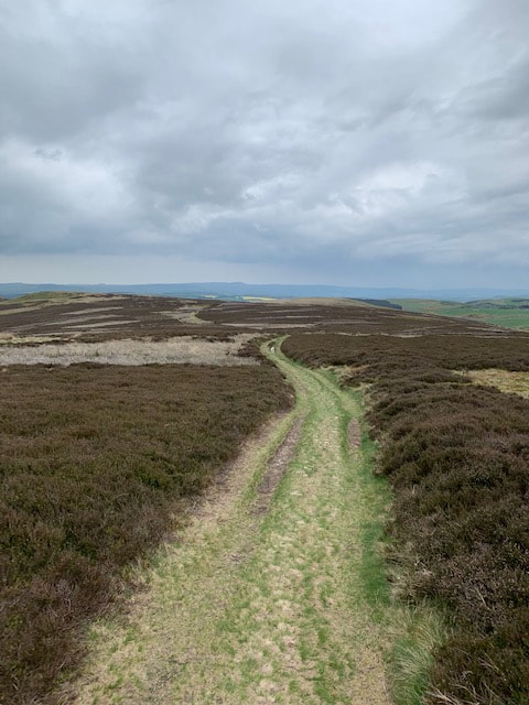 ... grassy and smooth.... and walking along it was like being back in the Lammermuirs. Green, brown, big views, skylarks and grouse muttering away in the longer patches of heather. I could see Wooler down below and ahead. The earworm kept me going for a while (thanks Michael) and a striking rock formation came into view - running alongside the top of Humbleton Hill. Another fort. More signs of early living at the edge of these hills. I spent a while lost in thought and worry. It was now a good bit after 5 and I really did need the chemist for more Compeed plasters. I hoped it closed at half-past. And I spent a while lost in thoughts of my aching foot which caused me to miss the next important Way marker. I found myself on a beautifully sheltered old green lane where I could let Hamish run on ahead a bit and hobbled along. I heard Hamish barking out of view ahead and found him greeting a fell-runner, the first person we had seen all day. Soon we reached a noticebaord about the people who had lived on Humbleton Hill and came to a junction with a road at a very pretty hamlet indeed. Not where I was supposed to be. I dug out the phone and hoped the GPS might correct itself in a few seconds but I was Off The Way and in Humbleton. It was a stunning wee place, but it meant I had further to go and it would take more time. A very nice local pointed me to a shortcut across a field. One thing about England is that the countryside bristles with little footpaths, stiles and wooden signs. It's a real surprise. But then, what you gain in added signage you lose in general rights of access across most countryside and inland water. We walked past a caravan park and out onto a road into Wooler reaching a deserted main street. The chemist had its lights on and I tapped on the door making some general are you open? gesture and then a can I bring my dog in? one. Yes to both. Open until 6pm folks. I resisted the temptation to buy All the Compeed and bought a pack of large and a pack of mixed. And some shocking pink nail varnish for my toes which might be on display if I had to take my boots off on Friday. I liked the glittery green but thought it might all look a bit fungal. The pinker the better in this case. I passed a couple of bars with men hanging around outside smoking and then found another - the Number 1 Hotel and Wine Lounge. It looked a bit well-to-do but I breezily hirpled in and spent five minutes (maybe more) selecting a gin. The staff were lovely - despite the fact that a scruffy oik and dog had just limped in they brought a huge gin for me and a bowl of water for Hamish (and made a fuss of him too). I phoned R to come and collect me - she'd been worried about where I was - and then realised I couldn't even remember the name of the gin. I was shattered. I left the pub (which I would definitely recommend - the pub, not the leaving of it) and headed up to the Co-op to meet R. A group of teenage girls were occupying the bench outside the Co-op and I squeezed in.
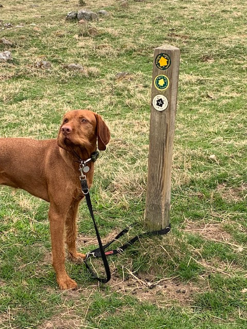
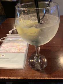
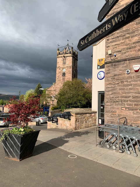
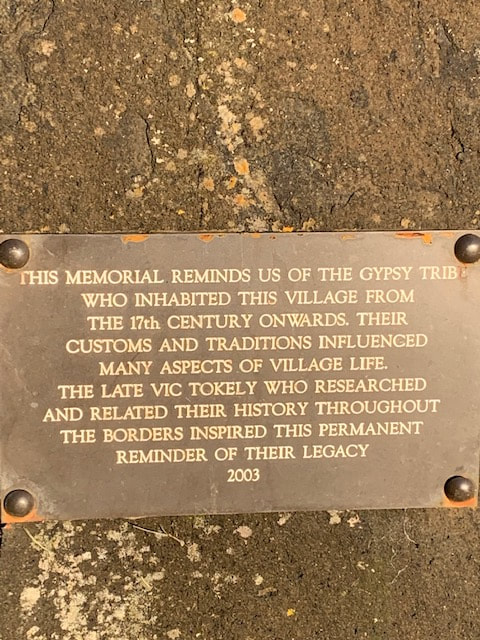
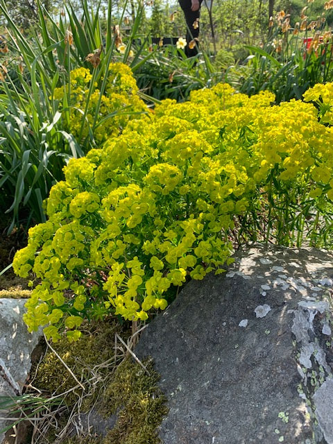
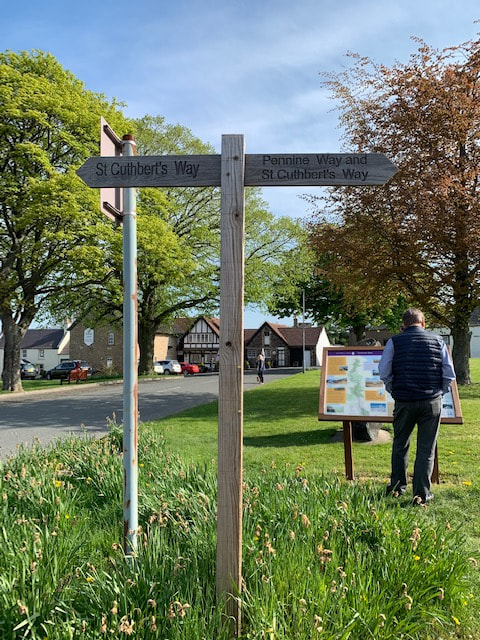
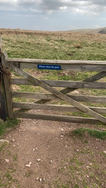
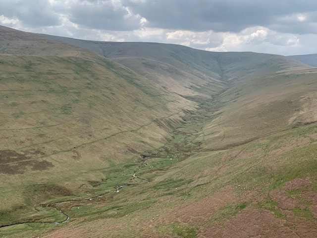
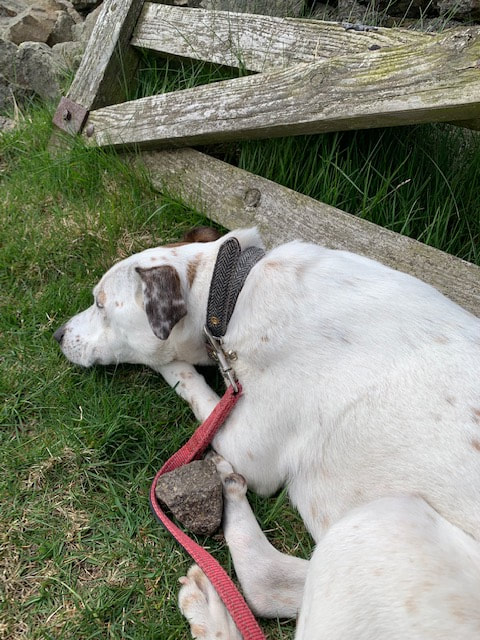
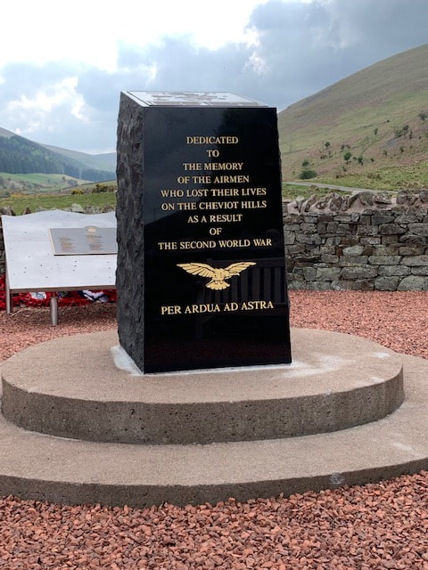
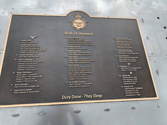
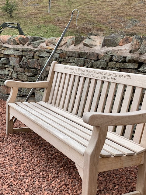
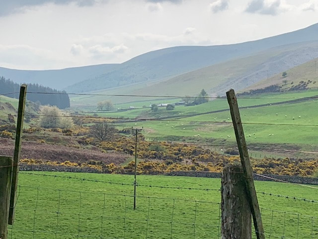
They soon moved off and I enjoyed the view. Two men headed towards me under a copse of cherry trees and a whirl of breeze had them showered in cherry blossom as if for a newly wed couple. They realised and laughed. The late sun made Wooler look glorious and I could see where i needed to go tomorrow. Kirk Yetholm to Southernknowe: Earworm of the day: Life of Riley by The Lightning Seeds, Bonaparte's Retreat (trad) I didn't sleep well - never do when away from home. I had to let Hamish dog out at one point in the night, and then I was worried I would oversleep despite the alarm on my phone. I'd actually set two alarms. I took H for his morning necessaries and he had a quick run, before we headed back for a truly fantastic breakfast. Granola, yoghurt, fruit, and scrambled eggs on toast. Lots of tea. There was another guest and she was with a large group of women who were also Way walkers, but they were all staying next door. She had been driving, and walking parts of the route. They sounded very fit, covering lots of miles each day, and she said some slower members from the year before had been 'left behind' this year. Crikey - what would they think of me and my strolling? I was starting to get a bit fed up of super-fit people - just jealousy you understand - it was hard enough seeing photos on Facebook where people describe a 'wee wander' up exhausting peaks. I would be dragging my overweight, and unfit body slowly and methodically along this walk and trying to enjoy what I saw and where I was. It's the only way i can do it. Perhaps I could subtitle my blog 'Fat Lass Takes A Long Walk'? I calculated that they would overtake me in a couple of days as I would be pootling about in the Cheviots while they caught up. By pootling I mean sitting around drinking tea and wine. She said there was a couple doing the route. I hadn't seen any other Way pilgrims so far, and I kind of liked it, that way. After breakfast, I tried packing my rucksack. This was the first time so far that I would have to carry everything I needed including dog food and dog bedding. The pack was heavy, yes but once it was on my shoulders - and definitely once the waist straps were fastened it wasn't too bad. And do you know what? It made me feel like the real deal. I said a 'good luck with the move' to the B&B owners and headed out into the heat. Kirk Yetholm is a pretty village indeed, and has had long association with the gypsies, including an old Gypsy Palace; now a holiday home. I wondered what Queen Esther would have made of that. I also stopped to chat to another gardener who offered me a clump of flowering plant to take away with me - I loved the vivid, jumpy acid green of it, but had to admit it might die before I got home. The village is also of course where the Pennine Way ends, and St Cuthbert's Way would be on part of that route today. Felt like Proper Walking. Me! On The Pennine Way! It was unlikely someone would mistake me for a Pennine Way-ist but one could hope. I was tempted to hang around for a bit. I knew I had a shortish day's walking ahead but wasn't sure how I would cope with the general hilliness of it. So I decided to push on and do any resting and loafing about at the top of the Cheviots. The Ways take you uphill out of Kirk Yetholm and H wasn't happy. He kept trying to pull us back to the village as if to remind me that we had last seen P there. We've lost dad! You've left him behind in that village! We have to go back! We hugged the shade and I hauled him up the hill. It is supposed to be the other way round, but the hill wasn't too bad, and the views along the Bowmont Valley to the east opened up as we climbed past paddocks of fat ponies. We headed down to the car park at the start of the hill-walk. We'd visited here a couple of weeks prior, to scope out a bit of the Way that I was nervous about. Here was the same farmer, revving his same quad bike round the field of ewes and lambs, shouting at his dogs. Perhaps he had to shout every day? After that though, things were beautifully quiet and empty. The way ahead looked perfect: So. This was it. Off into the hills alone. The path was narrow, and hot and I stopped to dig out the sunhat and then again to take off and re-lace my boots. We were both going to need a lot of water today. A car appeared in the car park below with two bouncing collies. I passed the high point of our previous walk and kept going slowly. The one man and his dogs overtook me and bounded on ahead. No pack. Amateur, right? Eventually St Cuthbert's Way headed off to the left towards Hethpool and I kept following the Pennine Way. Finally reached what I had thought was the ridge, but it wasn't. A cruel deception but so so beautiful ahead where the land dipped then swooped steeply to another ridge. More climbing was to come. Eventually the border fence appeared from our left and we followed it, down and then up to White Law. It's not much of a border fence to be fair; a run of post and wire fence with occasional gates in it. And although it says Please Close The Gate, you can take that to read Please Come Through (and Close the Gate). We followed the fence down again then a long and very slow walk up Steer Rig. This was the ridge and I absolutely loved it. There is something so exhilarating about being on top like this - with even a slight breeze to cool things down. It was a landscape I wanted to absorb myself in - be part of - rounded and warm and high and silent. We found a spot on the Scottish side of the fence, ate some early lunch and H fell asleep immediately. Here was a solid geological border, overlain with a flimsy political one. The Cheviots were evidence of the fact that Scotland and England had once been two separate landmasses of continents, crossing a wide ocean to collide around 400 million years ago. The resulting volcanoes had been weathered and rounded. Geology is brilliant and I love the way it can explain so many things from international geo-politics down to the voting patterns of East Lothian. I wondered if England was still being subducted under Scotland somewhere below my feet. I spend a lot of time immersed in Scottish politics, and - as well as being that visible edge of the world as viewed from the Lammermuirs - the Cheviots - and this fence - were a border between two very different worlds. It could be easy to view 'Here' as Us (even including me, now) and 'There' as Them. Here as Land Reform and Access Rights and Responsibilities; There as Private Property Keep Out No Camping. Here as inclusion and Remain; There as scared, enraged, spittle-flecked Brexityness. On top of that, all those centuries of fighting, kings and queens killing each other until they ran out of heirs, and then smoothing the way to political union and rewarding the subsequently rich and further-titled, whose grand houses and grounds we had been marshalled round the edges of in recent days. Of course, the reality begs to differ. In Kirk Yetholm as we sat out side the pub, there had been a real sense of people living lives which were neither definitely Here or There, but border lives. Flowing between political entities and across geological continents to socialise, shop and make homes. I messaged P who was stuck in a meeting in Edinburgh. Collie guy dashed back past me heading down the hill. Time to move on. I had left the St Cuthbert's Way a while back, and I was staying with a friend at Southernknowe, further up the College Valley and at the foot of The Cheviot itself. I left the Pennine Way (it had felt rather good) and dropped down towards Mounthooly; a walk which was utterly steep, battered my knees and hip and left me hobbling on my blistered foot. Hard to feel at one with the world around you when every step hurts. A stretch of road walking brought me down to this wonderful memorial, the Cheviot Memorial, set inside a drystone sheep stell. It seemed that the Cheviots had claimed more than a small number of casualties during the second world war, and the tablet commemorated each plane (British, US and German) and each individual life lost. It was very moving. The bench is dedicated to the shepherd and his dog Sheila who located many survivors of one crash. And a more recent crash had happened in 1988.
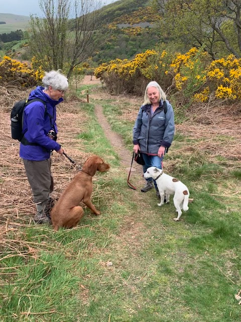
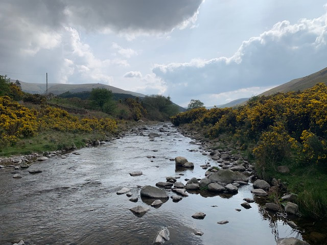
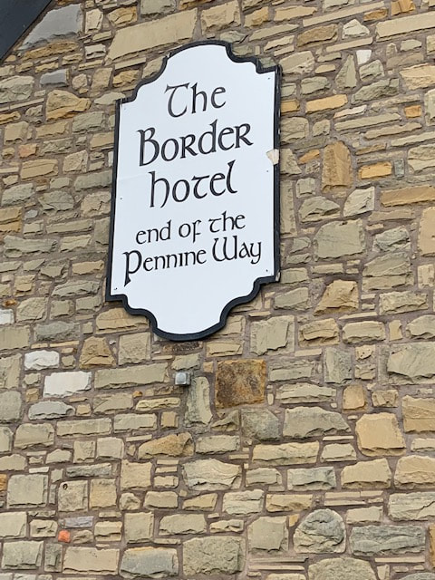
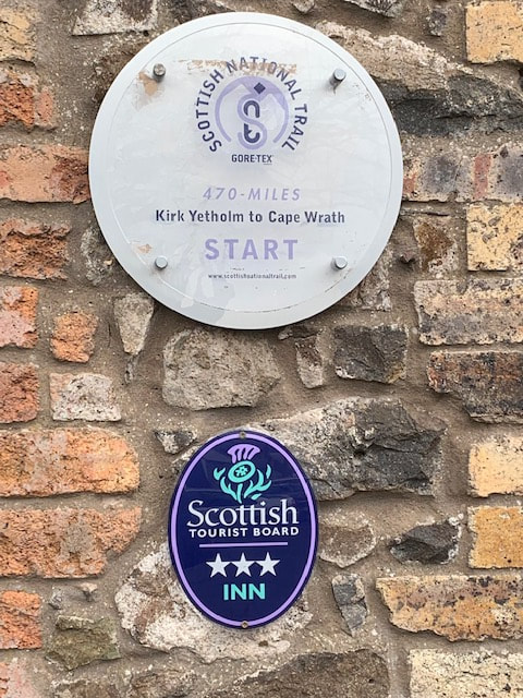
I sat for a while and rested my feet, then heading to Southernknowe in the hope of a cup of tea, or a gin, where I could just soak up the views of where I had been. This is a shorter blog post but I forgot to charge up my phone and my charger due to agonies incurred on previous day. So not many pictures :( Cessford to Kirk Yetholm Earworm of the Day: Mairi's Wedding (trad) and Willafjord (trad) Back the next day and on the walk for good now. We left the car at Cessford for P to collect later and started off and what was the longest stretch of road-walking on the Way. The guidebooks say that Cessford was once a much bigger and more populous place than it is now and the ruins of Cessford Castle are sited back off the road. The castle was once a base for the Kers - a separate branch of the Kerr family to that of Michael (Kerr) Ancram, Tory politician and Marquess of Lothian who owns Monteviot House. The Way leaves Cessford and passes the ruined castle on a narrow lane, heading downhill towards Morebattle. The section of the Way between Cessford and Morebattle is all road-walking, initially on quiet roads between arable fields in blazing sunshine. Hamish likes it best when all three of us are out on a walk. His family is complete and all is well with the world. I'd checked his feet and he seemed to be coping with the walk very well. We climbed slightly and the fields at the top of the hill were full of golden rapeseed higher than us. It was an odd feeling - just being surrounded by gree and yelow with the blue sky above. Down past the farm cottage at Otterburn where some children were playing outside and then reaching the main Kelso-Kirk Yetholm Road (another fast one - with a high number of manicured ladies in black four by fours, heading for Kelso at a fair lick which made Hamish cower) at the delightfully named Cowbog, where the road runs through the valley of the Kale Water. We sat on a wall to take on some water and look at the map. An information Board later on the road points out that the whole valley area was once the huge Linton Loch; 1000 acres of water and marsh (now drained for farming). The area was also the home of the mythical Linton Worm - wyrm being an old Anglo-Saxon word for dragon or serpent. The Worm would rampage across the Border countryside laying waste to people, livestock and farms until it was killed by a local laird. We braved the busy road and Hamish hunted for ditches and streams where he could slake his thirst. The water i carry along for him (at considerable effort) is never as nice as water from puddles and ditches. You can take the dog off the streets but .... Morebattle is a lovely village with some quaint street names that made it seem like my kind of place. It was still blisteringly hot. P had gone back to bring the car to Morebattle and I had arranged to meet him in the pub for our free half-pints. Before that though, I stopped at the Trysting Tree, which is where the Jethart Callant and Kelso Laddie meet up on their respective Common Ridings each summer. I was starting to think about borders and what they meant. The Templehall Inn was very quiet indeed and we felt guilty having just our free half-pints, so we ordered crisps and extra drinks (all to help boost the local economy of course) before reluctantly heading back into the heat for the next stage. After a short stretch on the main road, we headed right along a lane down across the burn and then a steep climb up Grubbit Law. I took it very very slowly indeed as my right foot was in real pain from blisters front and back and my left hip was hurting too (bursitis - longstanding). I've kind of adopted a hill-pace which is slow, measured and involves more than a few stops to look at the view. Speed isn't everything - right? I did think i was getting a bit fitter though, and i was starting to be more confident that I would eventually get to the top of the hills we met on the way. No phone battery. No charge in my wee power pack. At the top of Wideopen Hill we were apparently on the highest point of the walk and half way there, and the views were amazing. Suddenly the Eildon Hills seemed far away and the Cheviots filled the horizon in the other direction - I felt we'd finally achieved some real distance across the visible landscape. All the time, when you're walking in the Lammermuirs, the Cheviots are the far horizon to the south, marking the edge of the visible world, and here we were, nearly there. Approaching the border in more ways than one. The route down from the hill followed drystone walls - which reminded me that I was supposed to be drystone walling at a practice meet in Yorkshire that coming Saturday - how would I feel? :O I do love drystone walling (or dystane dyking) but have struggled with both confidence and fitness since I joined the Guild. A hernia, then an op plus recovery, followed by hospital-acquired infection and recovery had put paid to much involvement in 2017 and for most of the summer of 2018 I'd had a grumbling chest infection followed by a detached retina. Hence the 'get active and do stuff you enjoy' resolutions for 2019. As it turns out I could barely put one foot in front of the other and occupied myself with supplying the other wallers with stone and doing 'packing' - providing the essential infill between the two faces of the wall. My Wharfedale friends took compassionate care of me and sent me back to Scotland feeling a lot better. The walk was a bit roller-coastery - up n down - and we could see Yetholm below us, then down an old green lane, down to a tarmac road (again!) for about a mile and some lovely riverside track around the side of Kirk Yetholm where we had booked a B&B. This was the night that P was due to leave and I would do the rest of the walk on my own (mostly). My friend RE was supposed to be joining me on Friday for the last stretch but I was assuming that she wouldn't be able to make it. I needed to be prepared to do this alone. And of course I had got used to the company now. The B&B (The Farmhouse) had not long been sold (we'd seen it in the local property guide) but the new owners weren't planning to run it as a B&B. That's a tremendous loss to the St Cuthbert's Way, as the place is absolutely brilliant. The lady-owner met us and was understandably (with moving day later that week) pretty stressed out but showed me (and the dog) to our room which was a huge double with a jacuzzi bath. We dumped our bags and headed to the pub for something to eat. We had already checked out the Border Hotel a few weeks previously. It is where the Pennine Way ends and I'd been asked to take a photo of a wiry tanned man who said he had completed the route in eight days. Now, in a younger life, I used to go out with Yomping Boy, but this seemed excessive. I asked if he'd seen anything of his walk and he said 'no not really, just had my head down'. We took these photos on that visit: It's a brilliant pub (wish it was my local!) with a fine selection of gins including Hadrian's Wall Gin which is kind of medicinal and herby. I love it. We sat outside the front, looking over the green and ordered some tea. Fish n chips (again). Something needed to wipe away the memory of the Scotts View disaster. A huge portion, crisply friend with great chips and loads of peas.
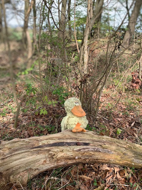
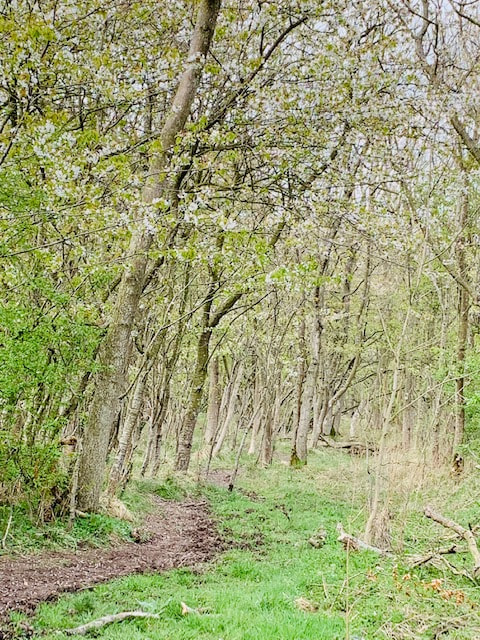
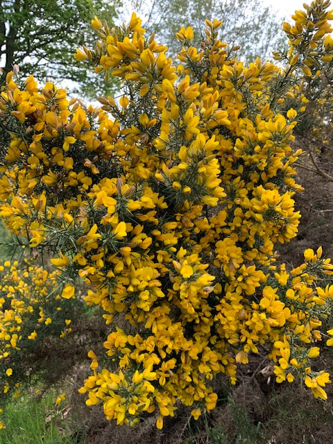
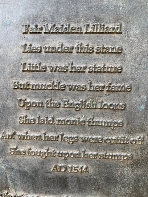
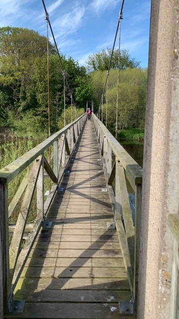
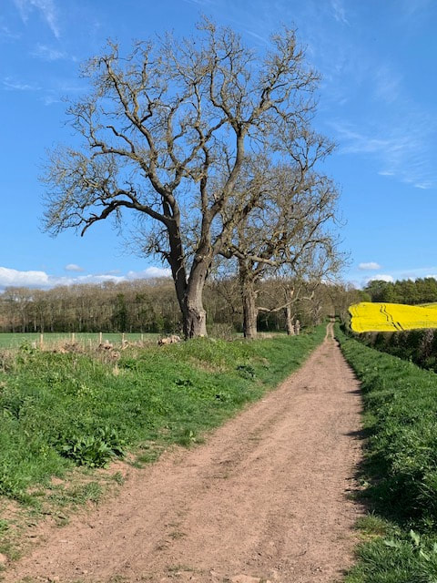
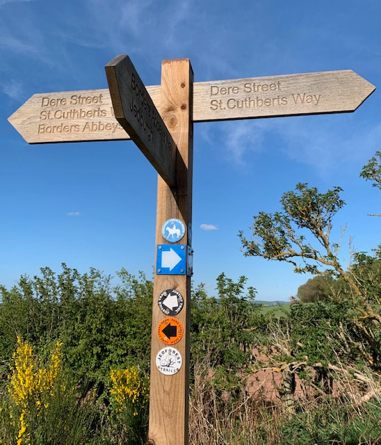
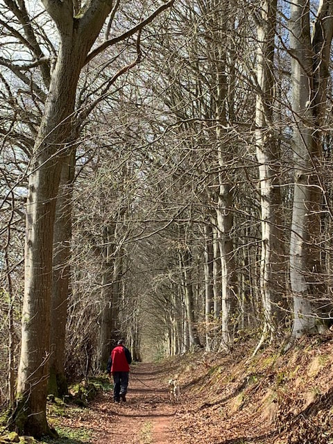
The tables out front were full of people enjoying the late sun, dogs lazed about on the tarmac and a man who said he had walked from Bideford was thumbing through the Cameron McNeish end-to-end book he'd borrowed from the bar, trying to work out what he was supposed to do when he got to the top end of the St Cuthberts Way at Melrose, as he was planning to walk to Cape Wrath but seemed very relaxed about how he was doing it. I loved his attitude but it isn't me I'm afraid. I wondered about the man who had been walking north through Scotland this time last year, staying in bothies with his fierce dog, wondered how the Naked Rambler was getting on (if he'd ever managed to leave Scotland or if he was still in prison somewhere), and whether this notion of walking long-distance attracted such a wide range of people because -buried within us - walking is our common heritage. We need to do it. When all else fails us we can still walk. I read a book a few years ago about walking, and how - in evolutionary terms - we as human beings are not yet adapted to deal with living at increasingly high speed; with being able to cross continents in a day, or speed between major cities in the central belt in under an hour. Physically, and emotionally perhaps, we are still built for 2-3 miles per hour. Perhaps that is why I think better when I'm walking? I loved that evening and didn't want it to end. The food was lovely, the gin was magical and the sun set slowly behind the houses across the green, as someone tended a hazy bonfire. We wandered back down to the B&B and lazed around for a bit before I had to say good bye to P who was getting a taxi back to the car at Morebattle, then driving home. I didn't want him to leave either. I felt a bit less fearless now that my foot was so blistered. Gave my foot a proper looking after - the room had a sewing kit which I used for the rest of the trip as my blister-lancing kit, and fresh Compeed. Now it was going to feel like more of a solo-adventure. Earworm of the day: The rhyme of Fair Maid Lilliard (see below), Midnight Feast by Lal Waterson The second day of the walk covered from St Boswells to Cessford, and was the start of the walking trip 'proper' (ie/ walking each day). I had originally planned this walk to be a solo project for a couple of reasons: 1) I've had a rough couple of years health-wise and had started to feel as if I'd lost myself a bit. Lost sight of the woman who would travel the world, or who would climb hills, alone. I'd become less independent, and I wasn't sure if this was a by-product of my being less financially independent, part of getting older, or just having been ill at times. I suppose I wanted to prove that I could still do it; still go it alone. 2) I wanted to spend some time connecting with the land that I spend so much time in - and I felt (rightly or wrongly) that that could be best achieved alone. I wasn't even sure what I meant by that connection: an understanding? an awareness of its rhythm? a feeling of being 'at one' with my surroundings? It's hard to pin down. And of course, I wasn't really planning to be alone, was I? I would have Hamish - our neurotic, nervy, rescue terrier of mixed breeding, who would happily lie on the sofa all day and has to be dragged bodily out of the house on walks. But - once out and about he commits himself to any walk with utter enthusiasm and delight. I also think that people might give a lone-woman-walking a second glance, but don't cast a second look at someone out walking a dog. A dog can simultaneously render you invisible, but also provide a point of connection with other people (and their animals). I could talk to Hamish and sing to him (and frequently do). Whether he understands, I'm not sure. Anyway - it was good to have P's company but it meant re-jigging my planned route to accommodate his work commitments. My original plan was to do St Boswells to Jedfoot one day and then Jedfoot to Morebattle the next, followed by Morebattle to Hethpool. P's need to be at work first thing on Day 4 meant we needed to do St Boswells to Kirk Yetholm over two days and Cessford seemed the earliest natural place to break the mileage up. With the result that Day 2 was a long day and we thought we'd walked about 15 miles but not sure. The fitbit clocked in at over 40,000 paces (it has never done that before and I thought it might self-destruct). This day of the trip was also a Sunday - about a fortnight after the first section. Given that I was sleeping at home again that night, I didn't need the full kit. The Walk: St Boswells commemorates St Boisil, who was prior at Melrose Abbey when St Cuthbert was a young monk. I had been re-reading Bede in preparation for the Way, and Bede states that Boisil: 'gave him instruction in the scriptures and showed him am example of holy life'. Boisil also foretold that Cuthbert would become a bishop. St Boswells is an easy trip down the A68 for us and in fact we were too early for Main Street Trading which doesn't open until 11am. We took a fantastic brunch in the dog-friendly Buccleuch Arms and picked up leaflets which promised us a free half-pint in the Templehall at Morebattle the next day. We had a brief route discussion and decided to walk to Maxton (the next village along the Way) by road to save some time. We'd had a taste of the Tweedside path, on the previous day, and were keen to come and do a thorough walk around the Tweed later in the summer. The green at St Boswells was a huge - and interesting-looking - car-boot sale (fund-raising by the Community Council) and we walked past it to pick up the A699 at the back of the green, where it headed off towards Kelso. This is a short walk (just over a mile) but the road was busy and Hamish is not keen on speeding cars. Every time something whooshed up behind us he would leap into the air and then try to lunge at the vehicle as it drove away. I gripped him tightly on a very short lead and put my head down. When we arrived at Maxton we met our first St Cuthbert's Wayers of the trip - these men were walking the Way from Holy Island towards Melrose and were just debating heading into St Boswells by road rather than via the river. It seemed they planned to be in Melrose later that day for their trip home. From Maxton, the Way continues along a quiet lane back towards the A68 which you could hear as we got closer. As we left Maxton, we could see that the Eildon Hills still looked quite close: ... and we keep wondering (even now) what that big white building on the side of the Eildons is - a bit of an eyesore and very noticeable. Almost immediately before reaching the A68, St Cuthbert's Way disappears into some trees on the left, picking up Dere Street, the ancient Roman Road which ran from York to the Firth of Forth. To me, it felt like like this is where the Way began and I was particularly looking forward to this section. To be fair, it's hard to shut out the noise of traffic on the A68 at first and you pick your way through young geans along the back of some houses, some pony paddocks and the famous A68 Shed Shop, but gradually the path starts to swing away from the road and things got quieter. We found this wee creature lost in the woods: The very thought of walking along Dere Street had to stir ones imagination. Until reading up in advance of the Way, I hadn't thought about the name Dere perhaps coming from the kingdom of Deira (where York now is), but had certainly thought about the Romans (or more likely their slaves) who had built this road, through the Cheviots and into the lands of the Votadini, wondering how they coped with Scottish winters and long dreich darkness. I had come across Dere Street at Soutra, where it passes by the ancient infirmary before heading down towards Edinburgh and the Firth. Initially, the route didn't feel very Roman, it wound its way through young trees full of cherry blossom and alongside a vast field of golden rapeseed - perhaps destined to make some beautiful Borders Rapeseed Oil. But gradually the walk opened out into a gorse-filled ride, full of heady coconut-scented yellow brilliance, and edged by trees where chaffinches, sang, chiff-chaffs chiff-chaffed, and a greater spotted woodpacker drummed somewhere hidden. Somewhere there was an altercation going on between a hungry buzzard and some protective crows, and the sound of skylarks just poured down out of the heavens - drenching us in song. It was truly wonderful. P and Hamish were off ahead, and I just fell into a smiling meditative trance where just being there, at that moment, was a real joy. That was what I wanted my walk on the Way to be. I couldn't stop smiling. Shortly after this glorious stretch, we reached Liliard's Edge and Liliard's Stane. I had been looking forward to this. An interpretative board sets out the history of the spot, and tries to separate out legend from fact. What we do know is that this point, midway between the great valleys of the Tweed and the Teviot, was known as Lilyot's Cross, a place where wardens of the English and Scottish Marches met to settle disputes. The legend of Fair Maid Lilliard comes from the later Battle of Ancrum Moor in February 1545, during the Rough Wooing. I'd been thinking about the Rough Wooing recently; Haddington was beseiged during a later battle in the same war with Scottish forces shelling the town which had been seized by English forces. St Mary's Church was heavily damaged. Anyway, the Rough Wooing was an attempt by Henry VIII of England to ensure that the young Mary Queen of Scots (his great-niece) was betrothed to his own son Edward so that the Tudors could gain control of Scotland. As it turned out Mary married the Dauphin instead which hacked Henry off further. Much of southern Scotland was invaded by English troops, many Scottish towns were destroyed and the impact on ordinary Borders folk must have been immense. The Battle of Ancrum Moor took place after English forces invaded Scotland, plundered Melrose and started to head back south 'laden with spoils'. Hastily gathered Scottish forces in smaller number met the invaders and a pitched battle ensued ending with victory for the Scots. Legend has it that Fair Maid Lilliard - having seen her lover hacked to death, picked up his weapon and fought until she too was killed. Her grave is said to sit on top of the hill with a plaque commemorating her achievements: You can't help but say 'what a woman', true or not. And this wee ditty became my earworm. Recited in time with my steps as I strode along, full of sunshine, birdsong and joy. From the grave on top of the hill you can clearly see North (backwards) and South (forwards) to the Cheviots and the English border. From Liliard's Edge, we walked for miles gently downhill, with the Waterloo monument at Peniel Heugh to our left, a monument to yet another more remote battle. Crossing a minor road we started down the south facing slopes of the Teviot valley and into a warm, earth-scented, bluebell-filled wood to the grounds of Monteviot House. The air was warm and this was the first time I had been in a bluebell wood for a very long time indeed. I had forgotten the brilliance and the scent. As we descended further, the paths filled up with people wandering, standing, chatting, and just generally dawdling. We decided on a detour for ice-cream at Harestanes Visitor Centre. The cafe here is also dog-friendly although it was so hot that we sat outside. After Harestanes, the Way is well-marked and takes you on a circuitous route the long way around the edge of the grounds of Monteviot House. The grounds do have some magificent trees! Eventually you reach the banks of the Teviot and cross it via a very narrow, swaying, springy, shoogly footbridge. Along the river bank downstream, then up through some trees to Jedfoot Bridge, close to where the Jedwater joins the River Teviot - and this is where I had originally planned to be collected. I'm just putting that here. By now my right foot had started to hurt. I unlaced boot and removed socks and waved my foot at P. Any blisters? He said he couldn't see any. So I limped on . This was a a mistake and I should've ignored him and put a Compeed on at that point. From Jedfoot Bridge and the speedy A698 (also to Kelso), the Way heads south back on Dere Street, which it this point did look as if it might have been an ancient road. By now it was after 4pm, and very very hot. The route follows the old Street to the top of the hill, where we rested on a very welcome bench, and then leaves the Border Abbeys Way (which heads for Jedburgh nearby) before heading left into a beech wood. This was the general pattern for the next wee while, as the path contoured along the top of the Teviot Valley, heading roughly south east. A spell of wood walking through Chestercleuch Plantation, where I found another wooden staff to support my aching feet, followed by an uphill stretch on a lane and then another track down to cross the Oxnam Water as it, too, flowed down to the Teviot below. then up through steep, intensely green pasture, and up a punishing track to another stretch of woodland at Blindwells Plantation, another uphill road stretch to Brownrigg where the Way crosses to the back of some cottages before rising towards Cessford Moor. A couple were enjoying the Sunday evening sunshine on their back patio, he with cold beaded pint and she with a very chilled-looking glass of white wine. I wanted to collapse and cry. 'Ha ha,hi - got one for me?' 'Oh ha ha fine evening for it - you've a fair way to go'. Mutter mutter, down another field, across another burn and then a climb up through woodland where I seemed to get a second or fourth wind. A quick check of the map confirmed that this was the last uphill stretch of the day. We would soon be able to see Blakeman's Crag at the top of the hill, then we would be across the top and downhill to Cessford where we had left the Defender. The sun was still warm but getting lower as we passed the final plantation and headed down a track towards Cessford - all of a sudden, the Cheviots seemed much closer and I realised that we were nearly half-way through the walk. Crawled into the Defender and headed back to St Boswells - passing a few of the road stretches we had done along the way. Blimey we had walked far.
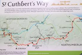
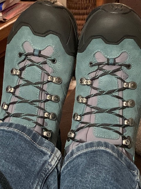
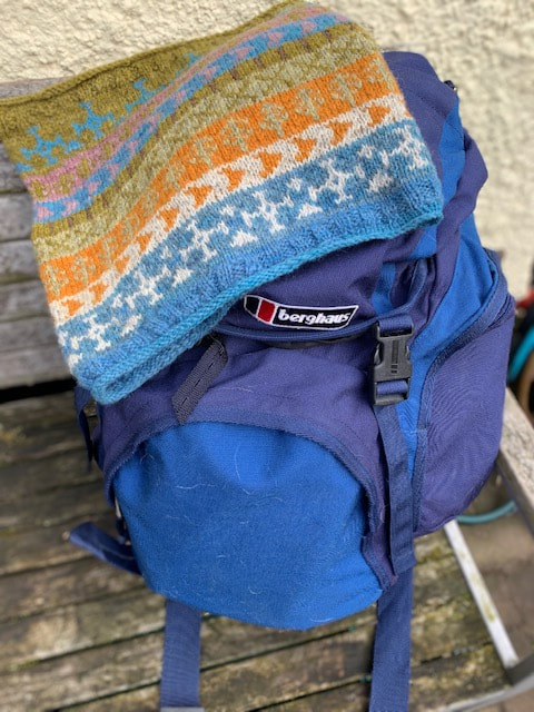
Debating on whether to pick up a fish supper in Earlston or Lauder, we chose Scotts View in St Boswells. Massive mistake. It was officially the second worst fish supper I have ever had. A lukewarm bottle of water accompanied food which lay swimming in a pool of oil at the bottom of the container. The chips were only partially cooked. This was a fantastic day's walking but had played havoc with my right foot. P's feet okay. Dog okay. 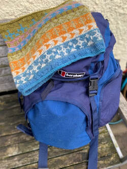 Berghaus 45 litre rucksack: I packed this over my slightly larger rucksack as this one has more pockets so I could keep things better organised:
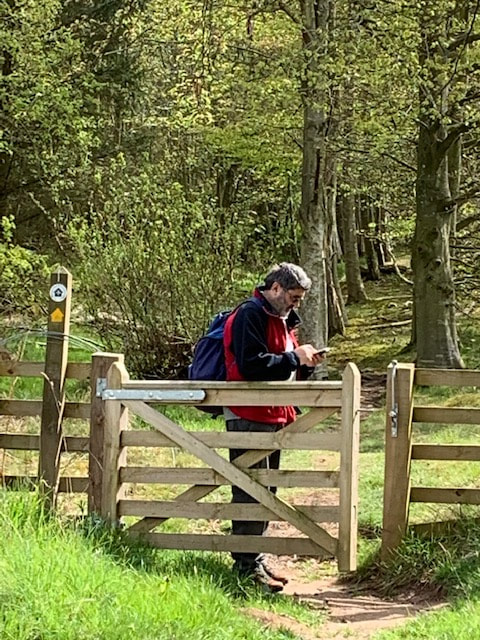
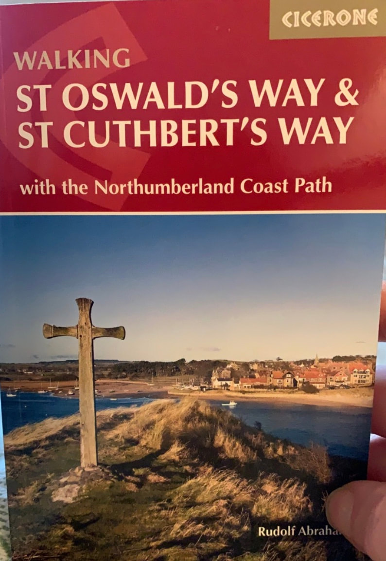
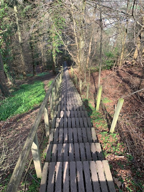
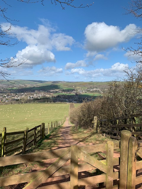
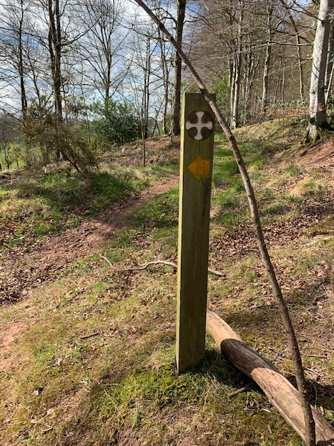
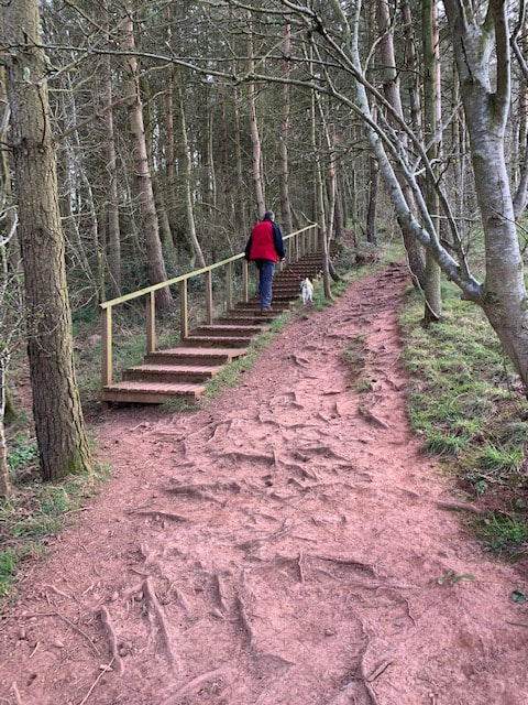
In main bit of sack or on me: Waterproof trousers (craghoppers) Waterproof jacket (Berghaus) Woollen beanie Liner gloves I only needed the above items on one of the days Bivi bag wee folded up sitting mat. 1 buff St Cuthbert's Way Cowl Cloth sunhat (mountain warehouse/MW) Sunglasses Scarpa walking boots Pair trainers 2 pairs liner socks 2 pairs bridgedale walking socks 2 pairs walking trousers very lightweight from MW Thin fleece (only wore on one day) so carried in straps of rucksack Thin hoody which I ended up wearing all the time over a t-shirt 2 thin t-shirts and one shirt PJs Thermos Lunch items Large water bottle Dog food in pre-weighed out portions Dentastyx Hamish's bedding (an old duvet cover) My own medications & some emergency stuff like a couple of cystitis sachets, diclofenac, ibuprofen and eye drops in a tiny pouch. Toiletries (soap, shampoo sachets, bath-shower gel sachets, mini-moisturisers, deodorant, foldable toothbrush and mini-toothpaste. contact lenses) SHOULD have taken hair conditioner as at the end of the week I looked like a scarecrow. First Aid kit (with additional compeed plasters) Underwear Side pocket: Hamish's biscuits, foldable bowl, dog-poo bags, hand-sanitiser Side pocket: Smaller water bottle Top pocket: Specs, sunscreen, insect repellent, phone charger/lead, purse, Front pocket: Book (Beowulf), guidebook, OS maps, whistle and compass My pockets: Phone, tissues, guidebook-issued map in case, lipsalve. There is nothing that I would have left behind. Stocked up on extra compeed in Wooler (chemist open until 6pm). Introduction: I've never written a blog about a walk before. So I'm not very sure how to do this. I want to include a lot of photos, some practical stuff (in case you want to walk this Way too, and some thoughts that I had while on the trip. As it turns out there might be quite a lot about feet. Some basic information about the Way. It is 100 km (or 60 miles) long/short and stretches between Melrose and Holy Island (or vice versa). It is incredibly well waymarked throughout, and contains a real mix of terrain. The amount of road-walking has been reduced since the Way was launched, which is all to the good. I remembered reading about the life of St Cuthbert in Bede's Ecclesiastical History of the English People - and felt I had absorbed a lot about him through previous visits to Lindisfarne and Melrose. Given his affinity with animals I had always viewed him as like St Francis, but with less effective PR. Summary of my experience? Incredible. Hot. Very very sore feet. Fantastic people. Not many people. Nice gins. Great finale. Sixty miles doesn’t sound a lot (but 100 km sounds more) and the Way certainly isn’t long in comparison to more well-known routes such as the West Highland Way, the Pennine Way or the Southern Upland Way. But it would be a Big Deal Indeed for me – as the autumn’s enforced inactivity (detached retina) and then just General Laziness had reduced activity levels to zero beyond checking the sheep once a day. I had originally planned to do this walk alone. It's one of my Big Goals for 2019: along with losing a specified amount of weight; getting some more Munros under my belt, a night wild camping and a night in a bothy. However, I've realised that it's good to have other people along for some of the time. My main concerns about the walk in advance were: 1) having to walk so far each day that I had to rush and thus not be able to absorb where I was. So I made some quite short days and thought about where I wanted to spend more time. I didn't always get this right. P weighed in later on and changed the route which meant we ended up with quite a long second day. But that’s okay as I made sure to remind him at regular intervals about whose decision it had been. 2) getting very wet. As it turns out not really a worry 3) having to carry too much - so I really thought about what (not) to take. 4) having to talk to people. We seriously considered making a 'Don't Talk To Me, I'm On A Silent Pilgrimage' card that I could wave at anyone I didn't like the look of. I spent a long time thinking about the walk in advance: read up on it, read accounts of other people's walks, studied maps, spoke to a good few people who had walked the route, checked out the pubs and cafes along the route to ascertain levels 0f dog-friendliness in advance. Bought some new walking clothes from Mountain Warehouse and from Ebay (so I wouldn’t be mistaken for a vagrant) and broke in my newish Scarpa boots. Did lots of walks in the Lammermuirs and around the Tweed and Teviot. These are my boots. I love them. Despite all the pain and heartbreak on the Way. And my trusty old backpack (which is heavy even when empty, along with the St Cuthberts Way Cowl (which it was too hot to wear). Melrose to St Boswells (1/2 day) Earworm of the day: Poor Man's Son by Kris Drever I did this with P which involved the judicious use of two cars. Living so close to the start of the Way I preferred to return home at night for as long as I could. Would save on costs too. The first day was Melrose to St Boswells - a short walk which broke us in to the route, and to the rhythm of walking. It was a very very hot day, but filled me with enthusiasm for the route ahead. Given the presence of P, refreshment stops featured heavily and assumed great importance as regular breaks are essential to keep him going. Parking in the centre of Melrose, we started out at Apples for Jam, a dog-friendly cafe which is open seven days a week. Well worth a visit. Had an amazing veggie breakfast and great coffee. Wondered if I was dawdling in the cafe on purpose. The route from Melrose started from the square, up Dingleton Road and then took a left at the end of some houses and past someone's wheelie bins. From there it is an unrelenting climb up the side of the Eildon Hills. There are LOTS of wooden steps which are covered in wire mesh which Hamish Dog hated, and then some bits of uphill path. It was hot, I was gasping for my life (or so it seemed) and I wondered if it was possible to just cancel the whole walk and just Never Mention It Again. I really can't do hills. It's a lung thing. i can walk for ever on the flat (feet permitting) but an incline is enough to turn me into a gasping wreck. But the views back over Melrose and up onto the hill tops opened up quickly and the coconut scent of gorse was everywhere. Such a heady, head-filling, sweet sweet scent. In quite a few pictures P is on the phone. It was a Sunday and Celtic were playing. It's Very Important to allow him to check the scores. :) We could see across to the Lammermuirs on the far horizon. This is always good as the Lammermuirs are home and I referred back to the Lammermuirs whenever I could see them. The waymarking is good - and for the first part of the walk we were sharing the signposts with markers for the Eildon Hills Path. The Borders has a really good network of paths centred on each of the main towns in the region. Yes I am still calling it a region ... The top of the hills was filled with runners -it's a popular venue for races throughout the year, for people who are a LOT fitter than us. Clad in day-glo vests, they seemed to float over the slopes all around us - criss-crossing the paths and making it look so easy. I used to have dreams that I could run: it's something I've always wanted to be able to do. Dreams that see me tackle mile upon mile with ease, hurdling fences and hedges. The tops of the Eildons are stunning but, as it was so so busy, we pushed on. At the saddle between Eildon Mid Hill and Eildon North Hill the view to the south suddenly opened up, with Peniel Heugh, Wideopen Hill and the Cheviot all visible. They seemed a long way away indeed. Impossible to think I would get there and beyond on foot. The walk down the southern side of the Eildon Hills was beautiful, through heady-scented gorse and then straight, burly beeches, along an old path. I found a 'staff' and thought I would channel St. Cuthbert. I suspected he might have had a donkey for the steep bits. It was St Aidan who gave his donkey away, after all. No body mentions St Cuthbert doing the same. A quick dip into a shady glen, then up a pink slope through trees (more steps, more mesh, more canine dischuffment) and across some open ground and down to Bowden. Bowden was new to me. Tucked away behind the Eildon Hills with some friendly inhabitants. I stopped to chat to a lady who was out walking a very hot-looking golden retriever, and to another lady who was tending a friend’s garden. P waited by the well in the centre and checked the football scores again. I was smiling as we met up – this was what I had hoped the Way would be like – peaceful, restorative, time to chat to strangers... The Cicerone guide to the Walk had suggested that we look out for Aird’s House. We didn’t see it but will visit at some point. However I liked the sign in the wee shelter, the well and the general look and feel of the place. Reminded me of Garvald where we used to stay, although it doesn’t seem to have a pub. The Way took us down out of Bowden and along the Bowden Burn through some trees. Eventually emerging up above the valley and on the road to Whitelees Farm and cottages. Then a first spell of road-walking in the heat down the hill to Newton St Boswells. This spell brought us our first overtaking etiquette dilemma. Some people had overtaken us on the north side of the hills (at which point greetings were exchanged), then overtaken us again at the farm as I was re-lacing my boots. More greetings. Then we overtook them on the road (but only because they stopped for water). More greetings. Now what? This was getting awkward and we were running out of new ways to say ‘hello’. The only thing seemed to be to stay ahead of them for the rest of the walk although this would probably not be easy. We stepped up the pace a bit and they closed the gap. At St Boswells, they headed into the village to find sustenance and we ploughed on. I read somewhere that people had found it hard to find the signs through St Boswells but it didn’t seem difficult. Look for green signs on the walls of buildings. We took a path down behind some houses and I managed to find another gardener to chat to. Everyone seemed bowled over by the amazing weather and it wasn’t even Easter yet. The path took us under the A68 and it made me smile to think of all the times I’d driven overhead, not knowing the path was here. Sheltered beneath trees the path finally moved away from the Bowden Burn and we got our first view of the Tweed, the path rising and dipping along the river until we reached a viewpoint back up the river towards Melrose, and a welcome bench. At which point our pursuers overtook us again with a cheery 'hello'. As we headed along the back of the Tweed Horizons Centre, the path stepped down to a road end at a bridge crossing the Tweed, and the place to head across if you wish to do the detour to Dryburgh Abbey. Some cars were parked up and people strolled about, walking dogs, exercising children and pushing buggies.
It was a bit busy for us, so we headed on along the path and eventually clambered up into the back of the main street in St Boswells, just along from the wonderful Main Street Trading Bookshop (and dog-friendly cafe) which is open seven days a week. Coffee and cake felt well-deserved (although we had only completed 7.5 miles/12 km) and managed to bag two wonderful books including The Hidden Life of Trees by Peter Wohlleben and The Running Hare by John Lewis-Stempel. Being able to read both of theses books ahead of the rest of the Way, enhanced my thinking about what I saw and the glorious trees and widlife which were to come. |
Archives
January 2024
Categories |
Proudly powered by Weebly

