|
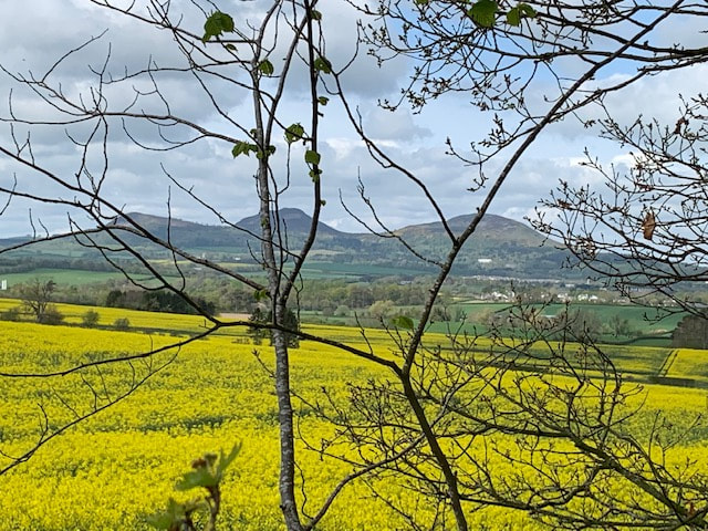
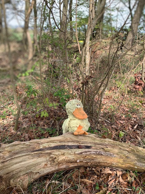
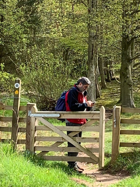
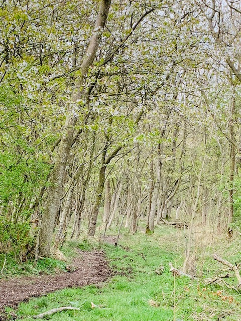
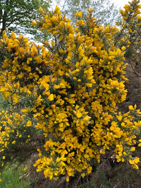
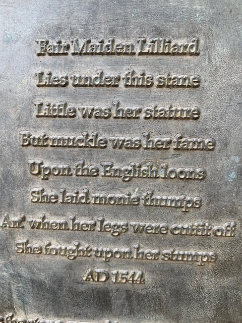
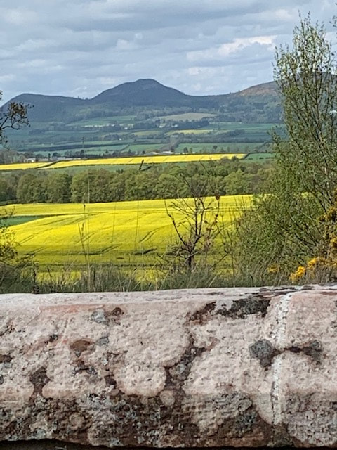
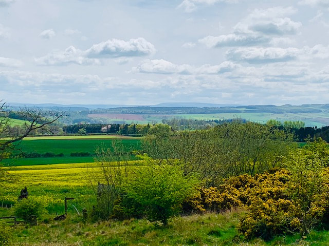
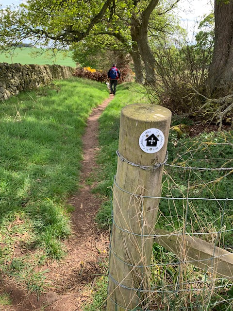
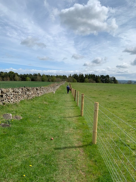
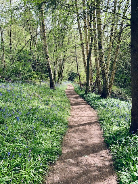
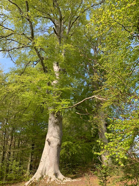
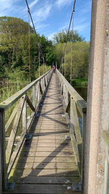
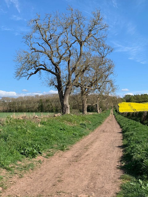
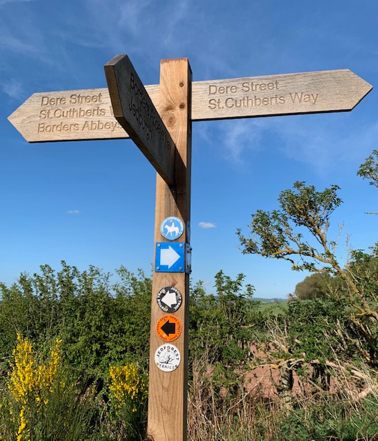
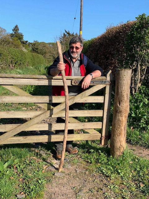
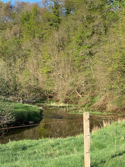
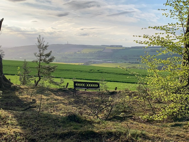
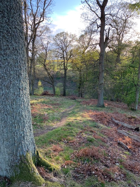
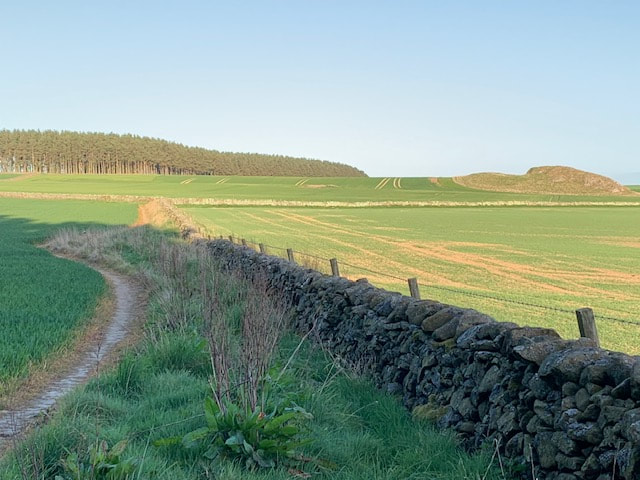
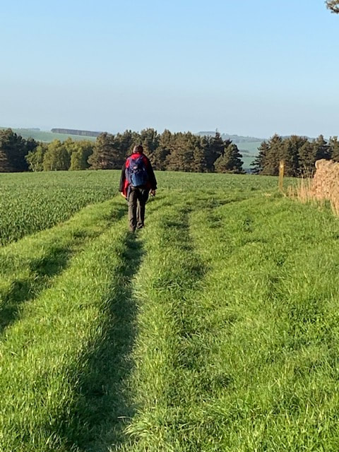
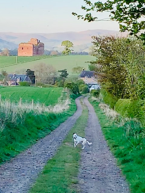
Earworm of the day: The rhyme of Fair Maid Lilliard (see below), Midnight Feast by Lal Waterson The second day of the walk covered from St Boswells to Cessford, and was the start of the walking trip 'proper' (ie/ walking each day). I had originally planned this walk to be a solo project for a couple of reasons: 1) I've had a rough couple of years health-wise and had started to feel as if I'd lost myself a bit. Lost sight of the woman who would travel the world, or who would climb hills, alone. I'd become less independent, and I wasn't sure if this was a by-product of my being less financially independent, part of getting older, or just having been ill at times. I suppose I wanted to prove that I could still do it; still go it alone. 2) I wanted to spend some time connecting with the land that I spend so much time in - and I felt (rightly or wrongly) that that could be best achieved alone. I wasn't even sure what I meant by that connection: an understanding? an awareness of its rhythm? a feeling of being 'at one' with my surroundings? It's hard to pin down. And of course, I wasn't really planning to be alone, was I? I would have Hamish - our neurotic, nervy, rescue terrier of mixed breeding, who would happily lie on the sofa all day and has to be dragged bodily out of the house on walks. But - once out and about he commits himself to any walk with utter enthusiasm and delight. I also think that people might give a lone-woman-walking a second glance, but don't cast a second look at someone out walking a dog. A dog can simultaneously render you invisible, but also provide a point of connection with other people (and their animals). I could talk to Hamish and sing to him (and frequently do). Whether he understands, I'm not sure. Anyway - it was good to have P's company but it meant re-jigging my planned route to accommodate his work commitments. My original plan was to do St Boswells to Jedfoot one day and then Jedfoot to Morebattle the next, followed by Morebattle to Hethpool. P's need to be at work first thing on Day 4 meant we needed to do St Boswells to Kirk Yetholm over two days and Cessford seemed the earliest natural place to break the mileage up. With the result that Day 2 was a long day and we thought we'd walked about 15 miles but not sure. The fitbit clocked in at over 40,000 paces (it has never done that before and I thought it might self-destruct). This day of the trip was also a Sunday - about a fortnight after the first section. Given that I was sleeping at home again that night, I didn't need the full kit. The Walk: St Boswells commemorates St Boisil, who was prior at Melrose Abbey when St Cuthbert was a young monk. I had been re-reading Bede in preparation for the Way, and Bede states that Boisil: 'gave him instruction in the scriptures and showed him am example of holy life'. Boisil also foretold that Cuthbert would become a bishop. St Boswells is an easy trip down the A68 for us and in fact we were too early for Main Street Trading which doesn't open until 11am. We took a fantastic brunch in the dog-friendly Buccleuch Arms and picked up leaflets which promised us a free half-pint in the Templehall at Morebattle the next day. We had a brief route discussion and decided to walk to Maxton (the next village along the Way) by road to save some time. We'd had a taste of the Tweedside path, on the previous day, and were keen to come and do a thorough walk around the Tweed later in the summer. The green at St Boswells was a huge - and interesting-looking - car-boot sale (fund-raising by the Community Council) and we walked past it to pick up the A699 at the back of the green, where it headed off towards Kelso. This is a short walk (just over a mile) but the road was busy and Hamish is not keen on speeding cars. Every time something whooshed up behind us he would leap into the air and then try to lunge at the vehicle as it drove away. I gripped him tightly on a very short lead and put my head down. When we arrived at Maxton we met our first St Cuthbert's Wayers of the trip - these men were walking the Way from Holy Island towards Melrose and were just debating heading into St Boswells by road rather than via the river. It seemed they planned to be in Melrose later that day for their trip home. From Maxton, the Way continues along a quiet lane back towards the A68 which you could hear as we got closer. As we left Maxton, we could see that the Eildon Hills still looked quite close: ... and we keep wondering (even now) what that big white building on the side of the Eildons is - a bit of an eyesore and very noticeable. Almost immediately before reaching the A68, St Cuthbert's Way disappears into some trees on the left, picking up Dere Street, the ancient Roman Road which ran from York to the Firth of Forth. To me, it felt like like this is where the Way began and I was particularly looking forward to this section. To be fair, it's hard to shut out the noise of traffic on the A68 at first and you pick your way through young geans along the back of some houses, some pony paddocks and the famous A68 Shed Shop, but gradually the path starts to swing away from the road and things got quieter. We found this wee creature lost in the woods: The very thought of walking along Dere Street had to stir ones imagination. Until reading up in advance of the Way, I hadn't thought about the name Dere perhaps coming from the kingdom of Deira (where York now is), but had certainly thought about the Romans (or more likely their slaves) who had built this road, through the Cheviots and into the lands of the Votadini, wondering how they coped with Scottish winters and long dreich darkness. I had come across Dere Street at Soutra, where it passes by the ancient infirmary before heading down towards Edinburgh and the Firth. Initially, the route didn't feel very Roman, it wound its way through young trees full of cherry blossom and alongside a vast field of golden rapeseed - perhaps destined to make some beautiful Borders Rapeseed Oil. But gradually the walk opened out into a gorse-filled ride, full of heady coconut-scented yellow brilliance, and edged by trees where chaffinches, sang, chiff-chaffs chiff-chaffed, and a greater spotted woodpacker drummed somewhere hidden. Somewhere there was an altercation going on between a hungry buzzard and some protective crows, and the sound of skylarks just poured down out of the heavens - drenching us in song. It was truly wonderful. P and Hamish were off ahead, and I just fell into a smiling meditative trance where just being there, at that moment, was a real joy. That was what I wanted my walk on the Way to be. I couldn't stop smiling. Shortly after this glorious stretch, we reached Liliard's Edge and Liliard's Stane. I had been looking forward to this. An interpretative board sets out the history of the spot, and tries to separate out legend from fact. What we do know is that this point, midway between the great valleys of the Tweed and the Teviot, was known as Lilyot's Cross, a place where wardens of the English and Scottish Marches met to settle disputes. The legend of Fair Maid Lilliard comes from the later Battle of Ancrum Moor in February 1545, during the Rough Wooing. I'd been thinking about the Rough Wooing recently; Haddington was beseiged during a later battle in the same war with Scottish forces shelling the town which had been seized by English forces. St Mary's Church was heavily damaged. Anyway, the Rough Wooing was an attempt by Henry VIII of England to ensure that the young Mary Queen of Scots (his great-niece) was betrothed to his own son Edward so that the Tudors could gain control of Scotland. As it turned out Mary married the Dauphin instead which hacked Henry off further. Much of southern Scotland was invaded by English troops, many Scottish towns were destroyed and the impact on ordinary Borders folk must have been immense. The Battle of Ancrum Moor took place after English forces invaded Scotland, plundered Melrose and started to head back south 'laden with spoils'. Hastily gathered Scottish forces in smaller number met the invaders and a pitched battle ensued ending with victory for the Scots. Legend has it that Fair Maid Lilliard - having seen her lover hacked to death, picked up his weapon and fought until she too was killed. Her grave is said to sit on top of the hill with a plaque commemorating her achievements: You can't help but say 'what a woman', true or not. And this wee ditty became my earworm. Recited in time with my steps as I strode along, full of sunshine, birdsong and joy. From the grave on top of the hill you can clearly see North (backwards) and South (forwards) to the Cheviots and the English border. From Liliard's Edge, we walked for miles gently downhill, with the Waterloo monument at Peniel Heugh to our left, a monument to yet another more remote battle. Crossing a minor road we started down the south facing slopes of the Teviot valley and into a warm, earth-scented, bluebell-filled wood to the grounds of Monteviot House. The air was warm and this was the first time I had been in a bluebell wood for a very long time indeed. I had forgotten the brilliance and the scent. As we descended further, the paths filled up with people wandering, standing, chatting, and just generally dawdling. We decided on a detour for ice-cream at Harestanes Visitor Centre. The cafe here is also dog-friendly although it was so hot that we sat outside. After Harestanes, the Way is well-marked and takes you on a circuitous route the long way around the edge of the grounds of Monteviot House. The grounds do have some magificent trees! Eventually you reach the banks of the Teviot and cross it via a very narrow, swaying, springy, shoogly footbridge. Along the river bank downstream, then up through some trees to Jedfoot Bridge, close to where the Jedwater joins the River Teviot - and this is where I had originally planned to be collected. I'm just putting that here. By now my right foot had started to hurt. I unlaced boot and removed socks and waved my foot at P. Any blisters? He said he couldn't see any. So I limped on . This was a a mistake and I should've ignored him and put a Compeed on at that point. From Jedfoot Bridge and the speedy A698 (also to Kelso), the Way heads south back on Dere Street, which it this point did look as if it might have been an ancient road. By now it was after 4pm, and very very hot. The route follows the old Street to the top of the hill, where we rested on a very welcome bench, and then leaves the Border Abbeys Way (which heads for Jedburgh nearby) before heading left into a beech wood. This was the general pattern for the next wee while, as the path contoured along the top of the Teviot Valley, heading roughly south east. A spell of wood walking through Chestercleuch Plantation, where I found another wooden staff to support my aching feet, followed by an uphill stretch on a lane and then another track down to cross the Oxnam Water as it, too, flowed down to the Teviot below. then up through steep, intensely green pasture, and up a punishing track to another stretch of woodland at Blindwells Plantation, another uphill road stretch to Brownrigg where the Way crosses to the back of some cottages before rising towards Cessford Moor. A couple were enjoying the Sunday evening sunshine on their back patio, he with cold beaded pint and she with a very chilled-looking glass of white wine. I wanted to collapse and cry. 'Ha ha,hi - got one for me?' 'Oh ha ha fine evening for it - you've a fair way to go'. Mutter mutter, down another field, across another burn and then a climb up through woodland where I seemed to get a second or fourth wind. A quick check of the map confirmed that this was the last uphill stretch of the day. We would soon be able to see Blakeman's Crag at the top of the hill, then we would be across the top and downhill to Cessford where we had left the Defender. The sun was still warm but getting lower as we passed the final plantation and headed down a track towards Cessford - all of a sudden, the Cheviots seemed much closer and I realised that we were nearly half-way through the walk. Crawled into the Defender and headed back to St Boswells - passing a few of the road stretches we had done along the way. Blimey we had walked far.
Debating on whether to pick up a fish supper in Earlston or Lauder, we chose Scotts View in St Boswells. Massive mistake. It was officially the second worst fish supper I have ever had. A lukewarm bottle of water accompanied food which lay swimming in a pool of oil at the bottom of the container. The chips were only partially cooked. This was a fantastic day's walking but had played havoc with my right foot. P's feet okay. Dog okay. Comments are closed.
|
Archives
January 2024
Categories |
Proudly powered by Weebly

